 Nature & Wildlife
Bhavali Dam
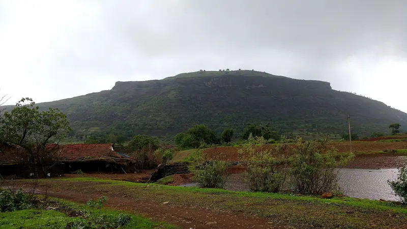
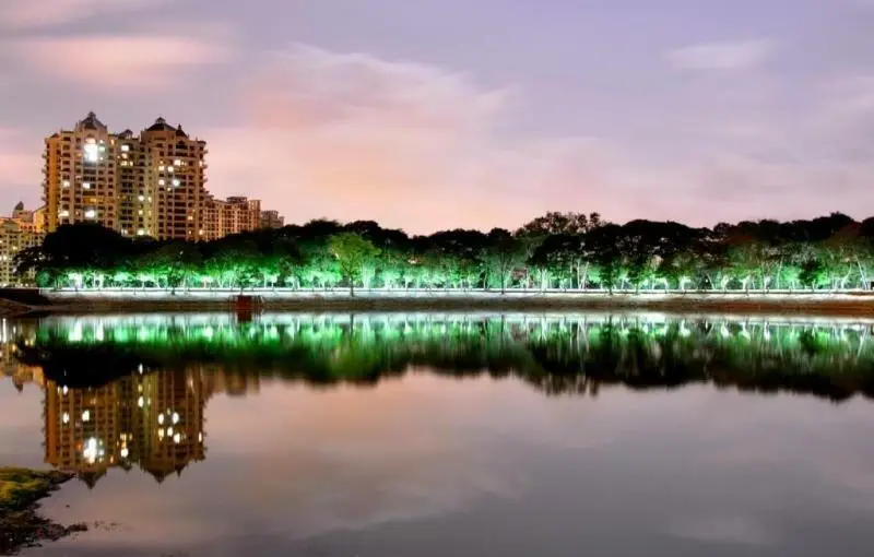
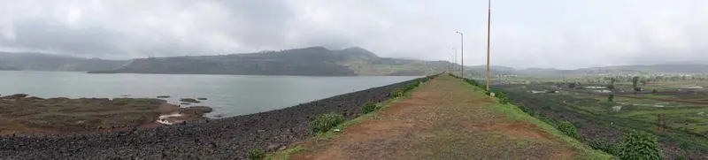
Irrigation dam and reservoir near Igatpuri set among green hills, used for picnics and boating
Nashik
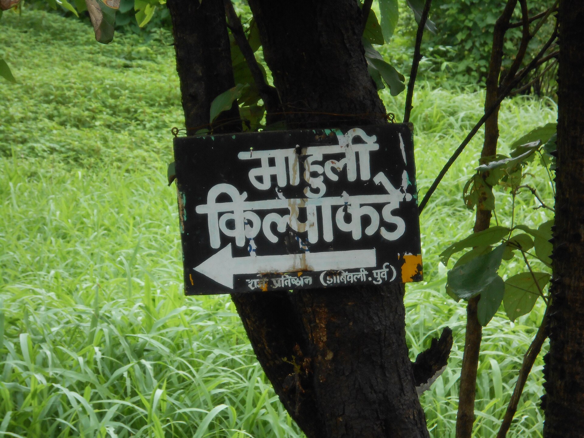
Photo: Seemakori · CC BY-SA 4.0 · Wikimedia Commons
Sign in to save places and plan trips, day by day.
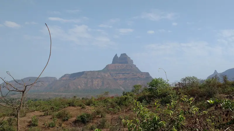
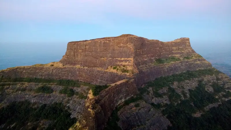
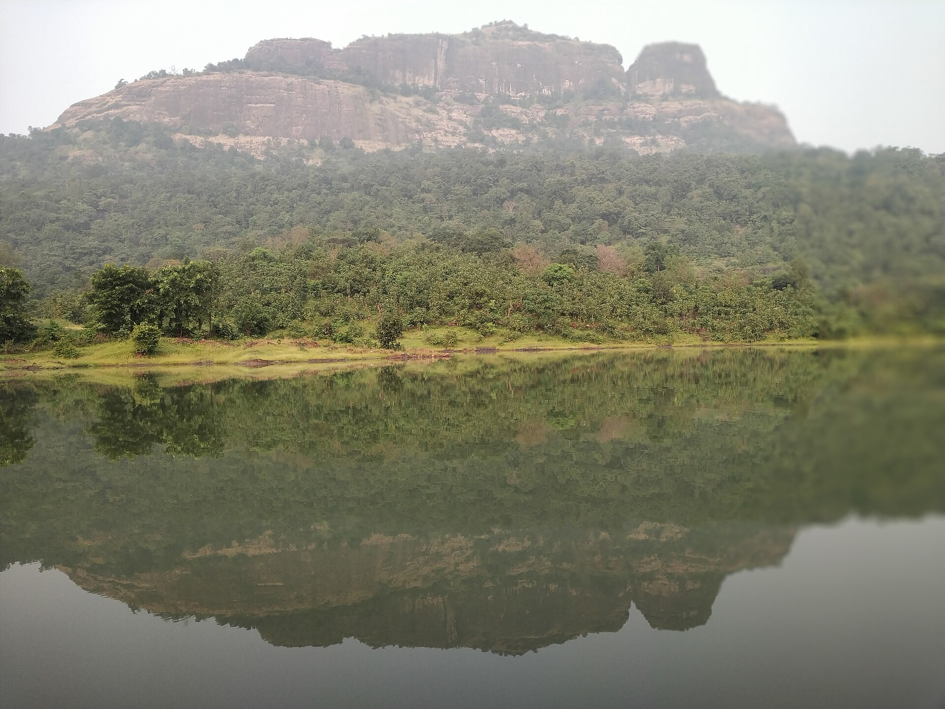
Mahuli is a hill fort spread over about 6 km, some 75 km north-east of Mumbai, rising to 2,815 feet, the highest point in Thane district. The Marathi text Mahikavatichi Bakhar calls it Madhu-palli. Malik Ahmad Nizam Shah took it in 1485, and in 1635–36 Shahaji came here with Jijabai and the young Shivaji, but surrendered the fort when Khan Jaman attacked. Shivaji captured it in 1658, lost and regained it, failed in a costly assault in early 1670 and finally won it that June through Moropant Trimbak Pingle. The British took control after 1817.
Today it is a protected monument within the Tansa Wildlife Sanctuary and a popular spot for trekking and rock climbing, thanks partly to the nearby pinnacles of Vazir and Vishnu. On top are an open Shiva temple, a small cistern of drinking water that lasts all year, three caves, the largest sometimes used for overnight shelter, and the broken Kalyan Darwaja arch. The nearest station is Asangaon.
Unmapia
Coming soon
We’re still writing about Mahuli Fort: its history, what’s there and why it’s worth the trip.
Where it is
19.48° N 73.25° E