 Miscellaneous
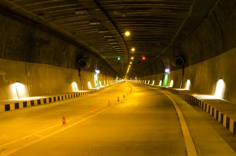
Syama Prasad Mookerjee Tunnel
9.2 km road tunnel between Chenani and Nashri, built for year-round travel
Jammu
Sign in to save places and plan trips, day by day.
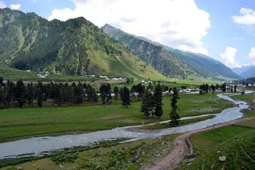
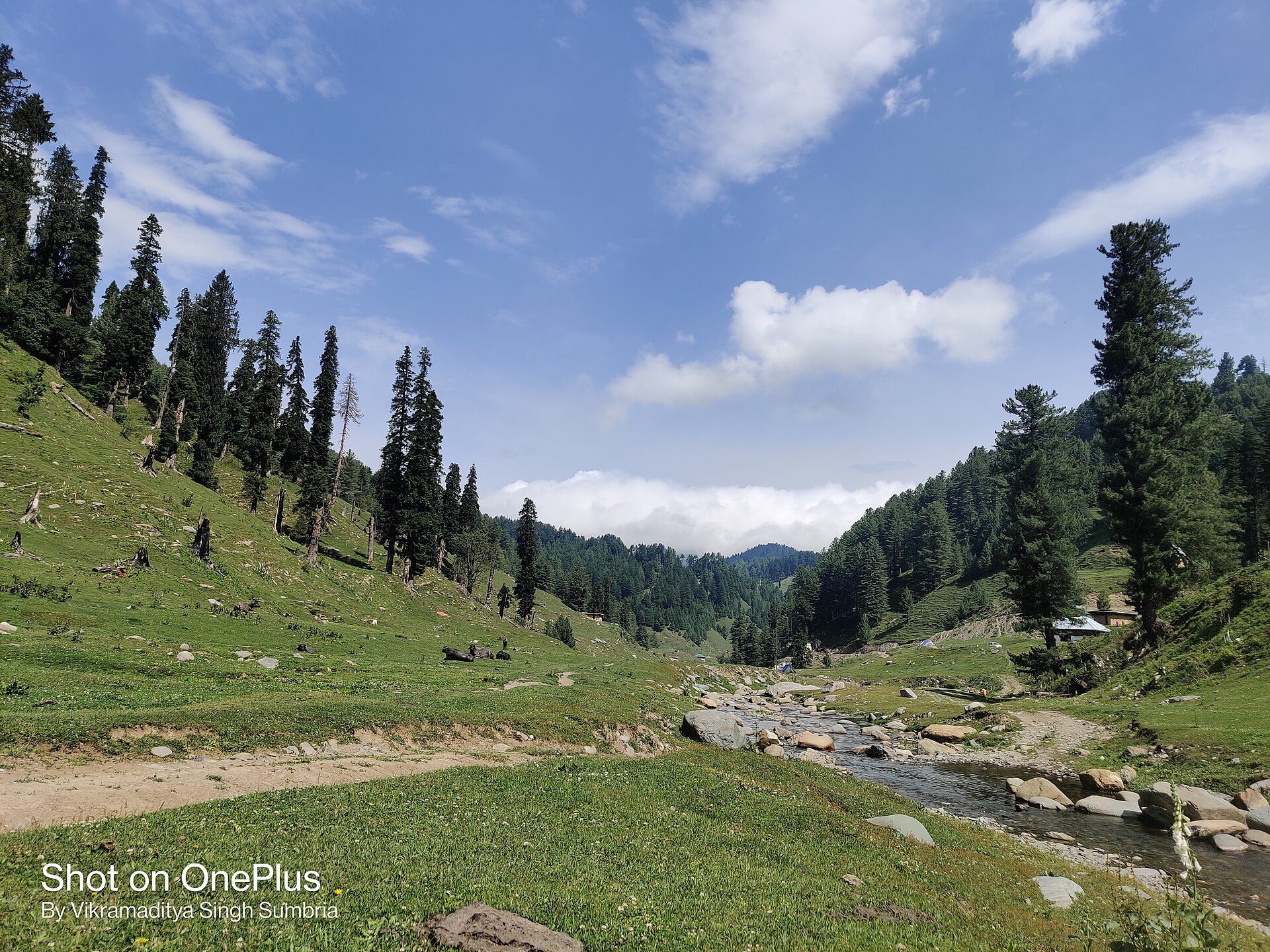
Chinta Valley is a valley and village in Bhaderwah tehsil of Doda district, Jammu and Kashmir, about 20 km northeast of Bhaderwah town on the road to Jai. At around 6,500 ft, it is enclosed by thick conifer forest and crossed by the Chinta Nallah; the village of Thuba separates it from Bhaderwah. It is one of the main tourist spots of the Bhaderwah area.
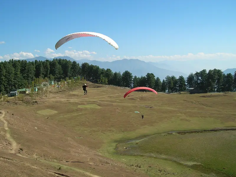
About 6 km short of Chinta on the Bhaderwah road, a bridle path climbs to Subarnag peak and its temple at 10,200 ft, which gives a wide view over the valley and Bhaderwah town. Chinta and neighbouring Jai have conditions suited to beginners' paragliding outside the wet season. The Bhaderwah Festival, running from Raksha Bandhan to the November full moon, is celebrated here, and farmers grow Bhaderwahi kidney beans among their maize.
Unmapia
Coming soon
We’re still writing about Chinta Valley: its history, what’s there and why it’s worth the trip.
Where it is
33.02° N 75.73° E