 Miscellaneous
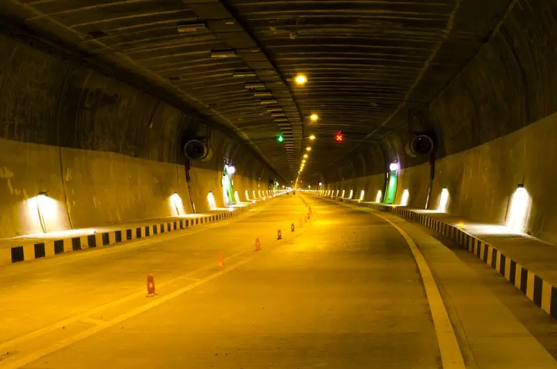
Syama Prasad Mookerjee Tunnel
9.2 km road tunnel between Chenani and Nashri, built for year-round travel
Jammu
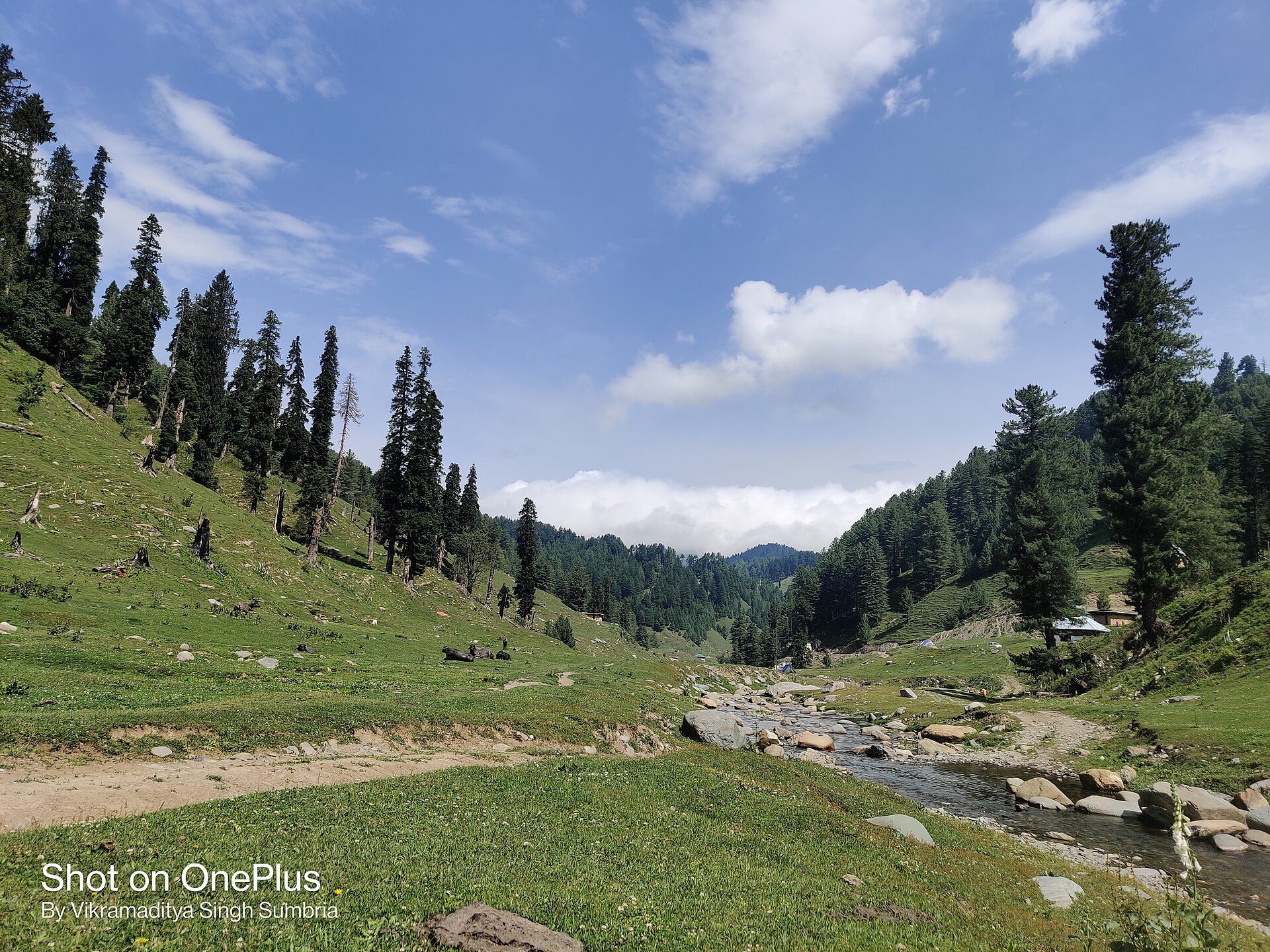
Photo: Sumbria.vikramaditya · CC BY-SA 4.0 · Wikimedia Commons
Sign in to save places and plan trips, day by day.
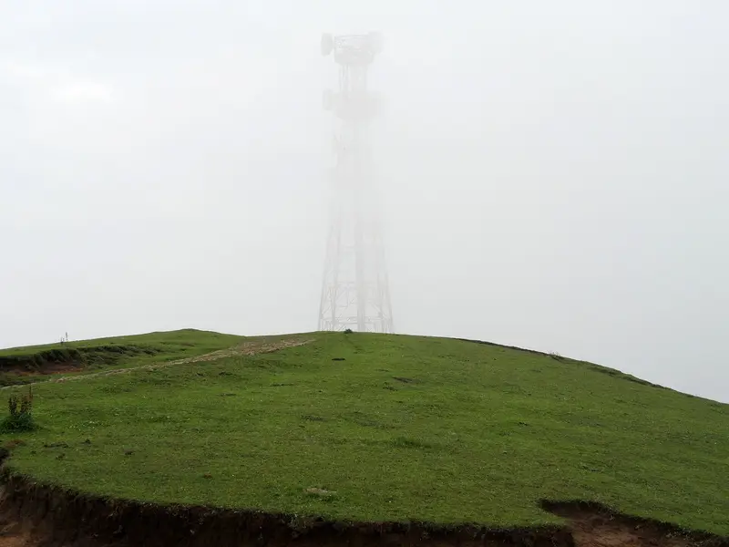
Jai Valley, also called Jai Garh or Jai Top, lies in Bhaderwah tehsil of Doda district, 32 km northeast of Bhaderwah town. The road there passes through deodar, pine and fir forests at Nakshri, Balote, Bhalra and Chinta before reaching meadows about 9 km long, split by the Jai Nallah. Fed by springs, the stream flows all year, is known for trout culture, and joins a Chenab tributary at Kahara. There is no mobile network.
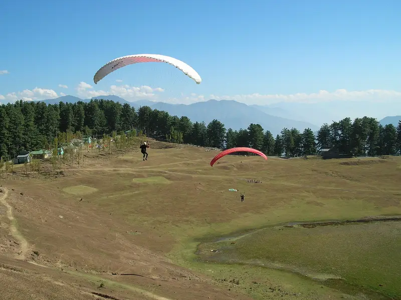
Thousands visit each year, mainly in summer, when local Gurjars also bring their cattle up to their mud houses. There are waterfalls, and rock climbing and hard trekking are possible; wild herbs including morels, fiddlehead fern, foxglove and aconitum grow here. In winter snow covers the valley, allowing skiing, ice skating and sledging, and igloo huts are available for staying. Like Chinta, it suits basic paragliding training. Roads also link Jai with Gandoh and Kahara.
Unmapia
Coming soon
We’re still writing about Jai Valley: its history, what’s there and why it’s worth the trip.
Where it is
33.03° N 75.77° E