 Hill Station
Yusmarg
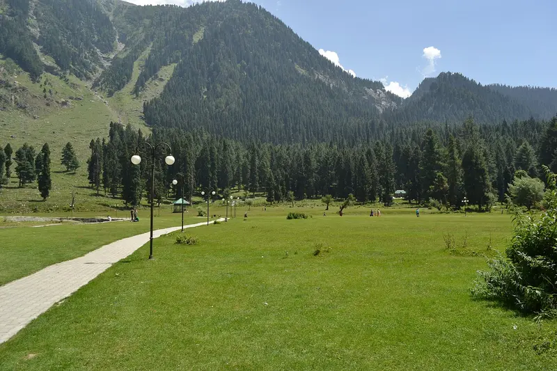
Quiet Himalayan meadow resort of pine woods, streams and the legend-filled Tosa Maidan
Srinagar
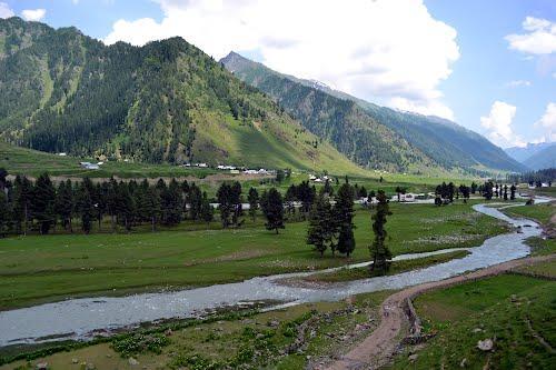
Photo: sauood · CC BY-SA 4.0 · Wikimedia Commons
Sign in to save places and plan trips, day by day.
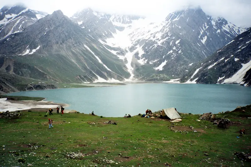
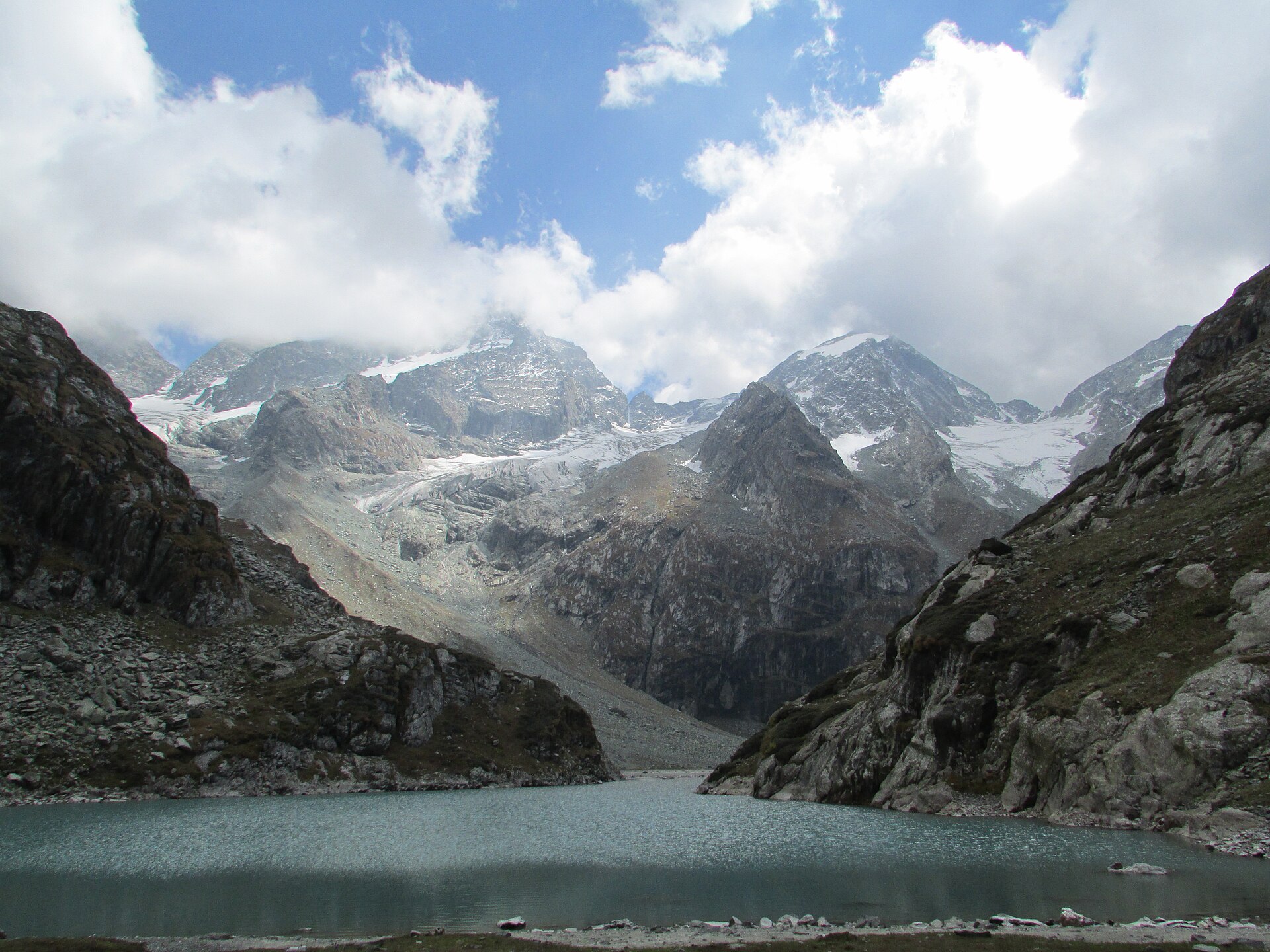
Warwan Valley is a Himalayan side valley and tehsil of Kishtwar district, in the Marwah sub-division, around 68 km northeast of Kishtwar town and 260 km from Jammu. It sits at about 2,134 metres, with the Kashmir Valley to its north and Ladakh to its east. The Warwan River, formed where the Batkot and Gumbar streams meet, drains it; lower down it is called the Marusudar, the largest right-bank tributary of the Chenab.
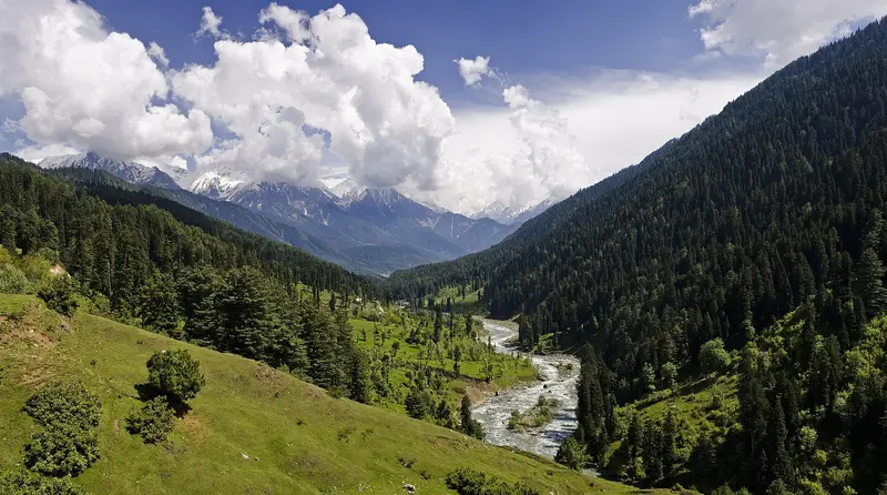
Roughly three-quarters of the valley is under vegetation. A 2015 survey recorded 285 plant species, 26 of them threatened, and many medicinal plants used by local people; flowering peaks in June and July. Villages such as Sukhnai, Margi, Busmina, Aftee and Inshan grow wheat, paddy, trumba and potatoes, and most residents speak Kashmiri. It is among the most remote valleys in Jammu and Kashmir, with poor roads, communications and power, and heavy snow closes it for six or seven months a year.
Unmapia
Coming soon
We’re still writing about Warwan Valley: its history, what’s there and why it’s worth the trip.
Where it is
33.86° N 75.54° E