 Offbeat Spot
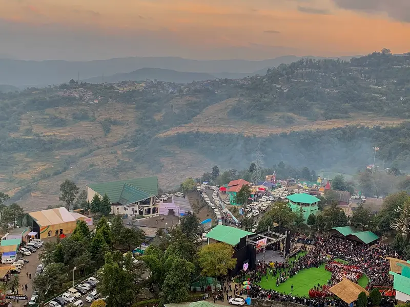
Tuophema Village
Northern Angami village with a tourist village, small museum and Sekrenyi festival celebrations
Kohima
Sign in to save places and plan trips, day by day.
Mount Saramati rises to 3,826 metres on the border between Nagaland's Kiphire district and the Naga Self-Administered Zone of Myanmar. With a prominence of 2,885 metres it ranks among the ultra-prominent summits of Southeast Asia, and it forms a natural boundary between the two countries. The mountain is made largely of shale, and pine forest covers much of its upper slopes.
Thanamir, a Naga village, sits at the base of the mountain in India. The village is known for its apples and holds an apple festival every year, along with growing other fruit and vegetables. Dimapur has the nearest airport and the most convenient railway station, though a nearer railhead at Shokhuvi has a couple of trains.
Unmapia
Coming soon
We’re still writing about Mount Saramati: its history, what’s there and why it’s worth the trip.
Where it is
25.74° N 95.04° E