 Spiritual Place
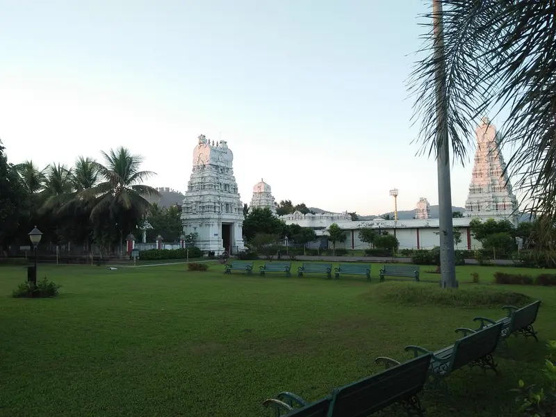
Purva Tirupati Sri Balaji Temple
White South Indian-style temple to Lord Venkateshwara with a 70-foot gopuram
Kamrup Metropolitan
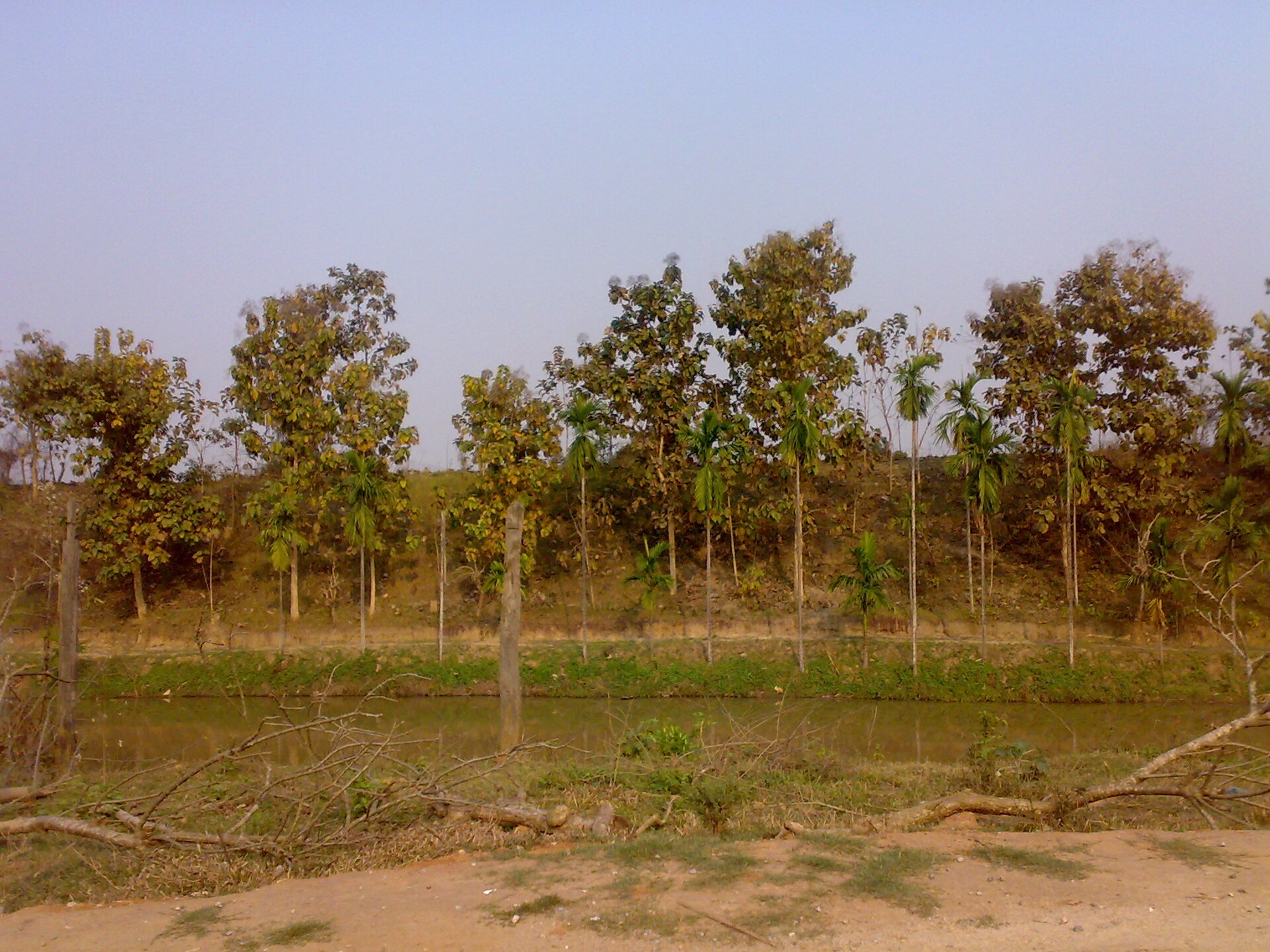
Photo: D. Konwar User:dkonwar · CC BY-SA 3.0 · Wikimedia Commons
Sign in to save places and plan trips, day by day.
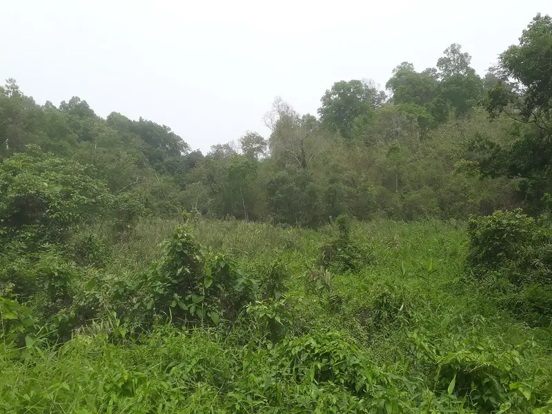
Garchuk Lachit Garh, usually called simply Lachit Garh, is an Ahom fortification in south-western Guwahati, west of Ahomgaon. It was raised around 1669–70 CE, in the time of the general Lachit Borphukan, to hold back invading Mughal cavalry. About 3 km long, it runs from the Fatasil hills in the Garchuk area in the north, across National Highway 37 at Garchuk Charali, and on through Pamahi and Moinakhurung to the hills in the south.
The defences were two earthen ramparts with two water-filled lakes between them and ditches dug in front, and visitors can still make these out, though illegal encroachment has damaged the site. The old road along the line, Asurar Ali, is now the Pamohi Road. An Ahom chronicle, translated by S. K. Bhuyan in his 1947 book on Lachit Borphukan, records how commanders and their men were posted along this stretch.
Unmapia
Coming soon
We’re still writing about Lachit Garh, Guwahati: its history, what’s there and why it’s worth the trip.
Where it is
26.11° N 91.71° E