 Historical Place
Ratangad
Jewel of the Sahyadris above Bhandardara, a 400-year-old fort with a pierced rock pinnacle
Ahilyanagar
Sign in to save places and plan trips, day by day.
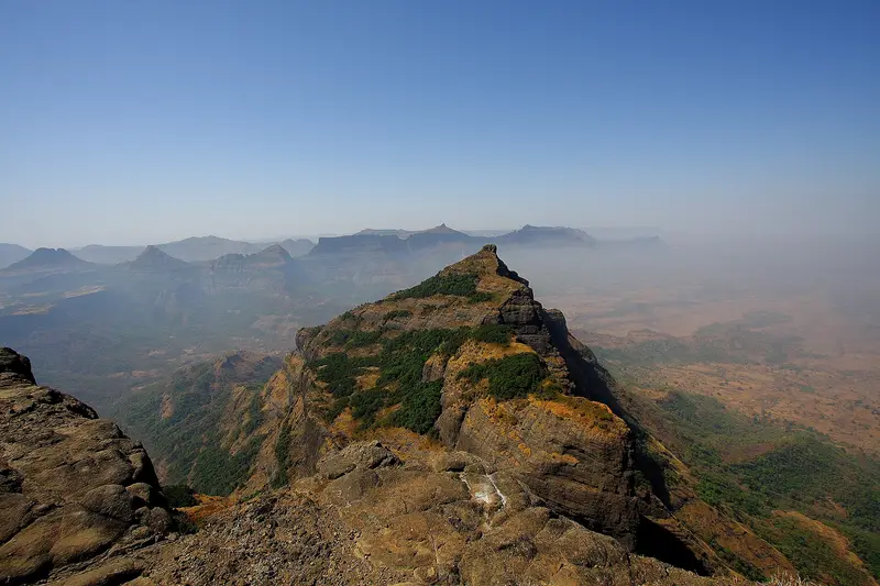
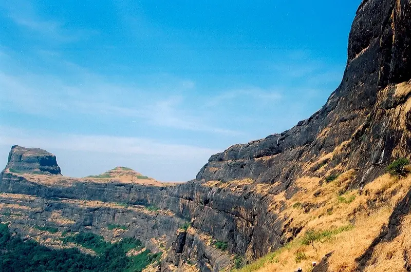
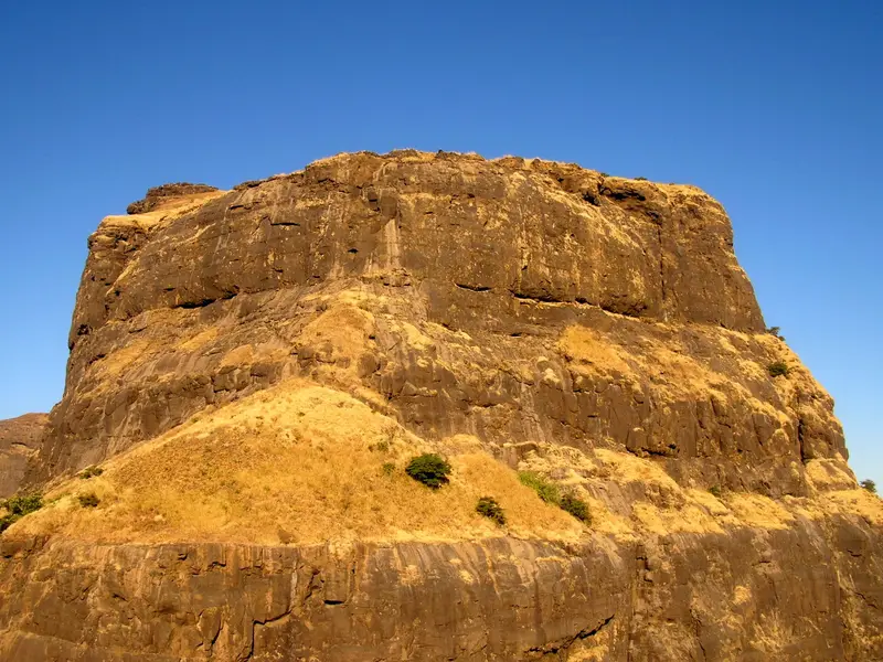
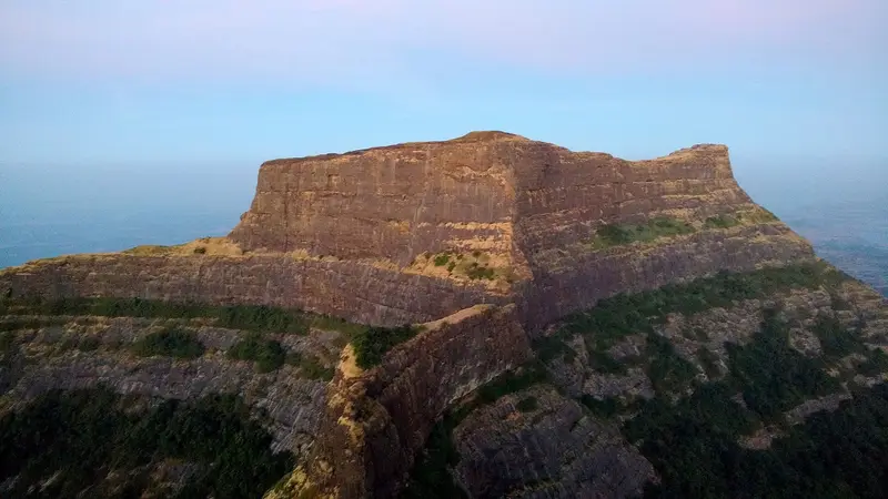
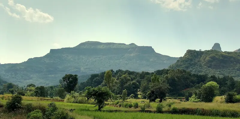
Ghanchakkar rises to 1,532 m in the Sahyadri range and ranks third among the peaks of Maharashtra. Muda, its 1,520 m neighbour, is fourth, and a broad plateau joins the two summits. A shrine to Gavalidev, a local deity, sits on Muda, known mainly to people from the surrounding villages.
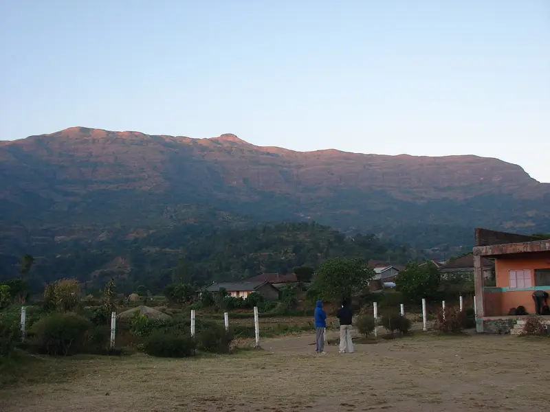
The shorter approach is from Shirpunje, a village 22 km from Rajur on the north side of the mountain; it takes about two and a half hours to the top. From Kumshet, a halt on the Ratangad–Harishchandragad trek, the route climbs to the Katrabai col, skirts Wakri, crosses Muda and follows the saddle over, about four hours in all. Trekkers often pass the peak by because water is so scarce: a single small source holds only through the cooler months, and by summer the plateau turns barren, and there is no shelter. Buses are few, so most people arrive by private vehicle or jeep from Rajur. Bhairavgad fort near Shirpunje can be added with time to spare.
Unmapia
Coming soon
We’re still writing about Ghanchakkar: its history, what’s there and why it’s worth the trip.
Where it is
19.48° N 73.76° E