 Nature & Wildlife
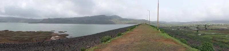
Bhavali Dam
Irrigation dam and reservoir near Igatpuri set among green hills, used for picnics and boating
Nashik
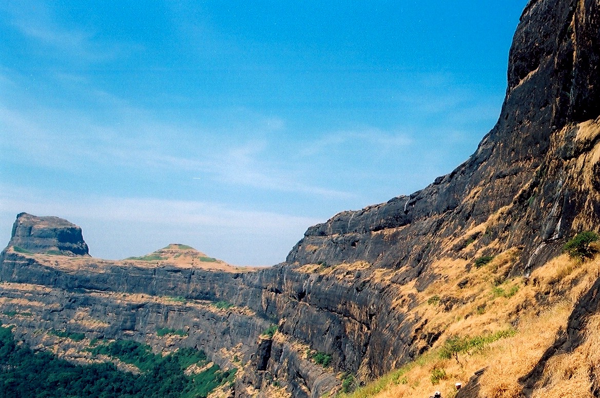
Photo: Mvkulkarni23 · CC0 · Wikimedia Commons
Sign in to save places and plan trips, day by day.
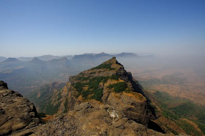
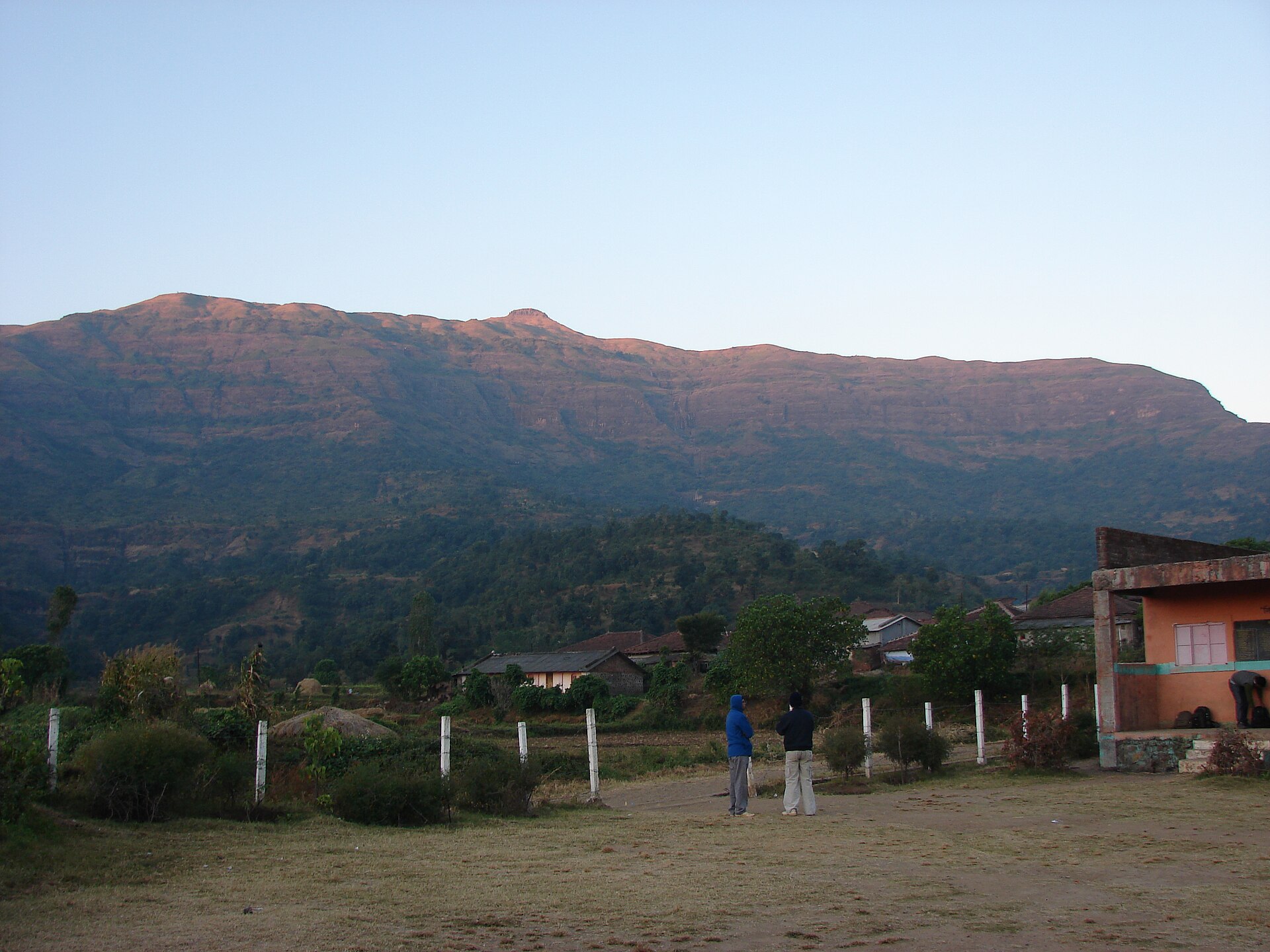
Alang Fort, also called Alangad, sits on a broad natural plateau among the Kalsubai hills of Nashik district. Together with Madangad and Kulang it forms the AMK route, regarded as one of the most challenging treks in Maharashtra because of its difficult stretches, dense forest, heavy rain and poorly marked paths. It is suited to experienced climbers, yet it still draws many visitors.
On top are two caves that can shelter up to forty people, a small temple, eleven water cisterns and ruins of old buildings. The view takes in a ring of famous forts and peaks: Kalsubai, Aundh, Patta and Bitangad to the east, Harihar, Trimbakgad and Anjaneri to the north, and Harishchandragad and Ratangad to the south. Access is from Ambewadi village, reached by bus from Ghoti after a train or bus to Kasara or Igatpuri. Trekkers should carry enough food and water for the round trip.
Unmapia
Coming soon
We’re still writing about Alang Fort: its history, what’s there and why it’s worth the trip.
Where it is
19.58° N 73.66° E