 Trekking Spot
Dzuko Valley (Manipur approach)
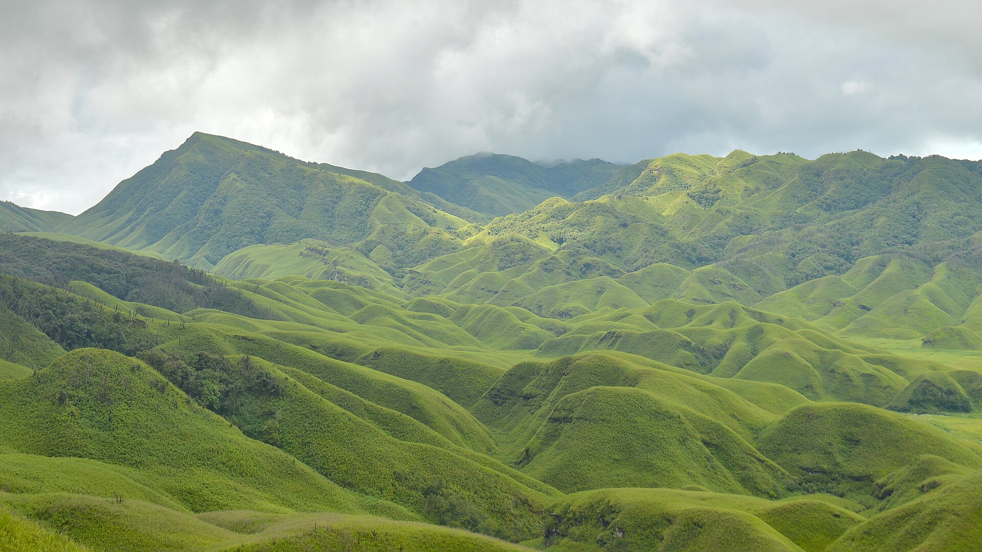
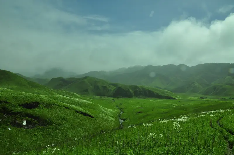
A broad green valley and seasonal lilies make the climb feel like arriving in another world.
Famous · Senapati
Sign in to save places and plan trips, day by day.
Mount Tempü rises to 2,994 m in the Barail Range on the border between Manipur and Nagaland. It is the highest peak in Manipur and the second highest in the Barail. Its name is a word from the Southern Angami dialect of Viswema, while the Mao Nagas of Manipur call it Esii. Snow occasionally covers it in winter.
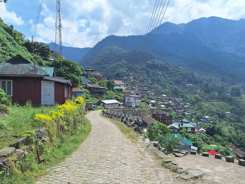
The climb starts at Viswema and shares its approach with the Dzükou Valley trek. Walkers either hike or ride up to the rest house above Teyozwü Hill, then climb for about forty minutes to Khiyoke, where the path forks: right for Dzükou, left for Tempü, about two hours further on. NH-2 runs through the foothills; Dimapur Airport is about 96 km from Viswema and Bir Tikendrajit International Airport about 120 km.
Unmapia
Coming soon
We’re still writing about Mount Tempü: its history, what’s there and why it’s worth the trip.
Where it is
25.53° N 94.08° E