 Spiritual Place
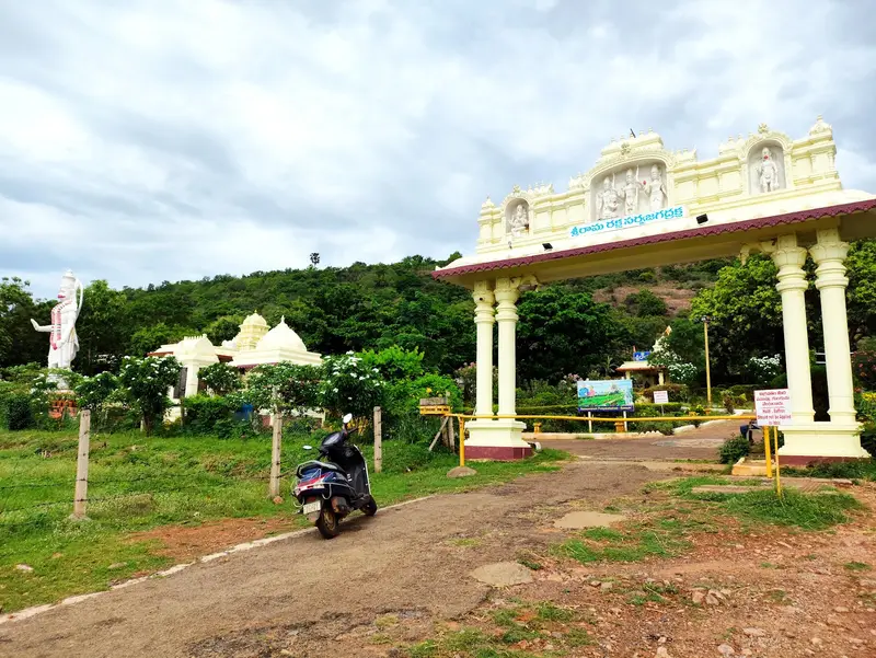
Ramadri Temple
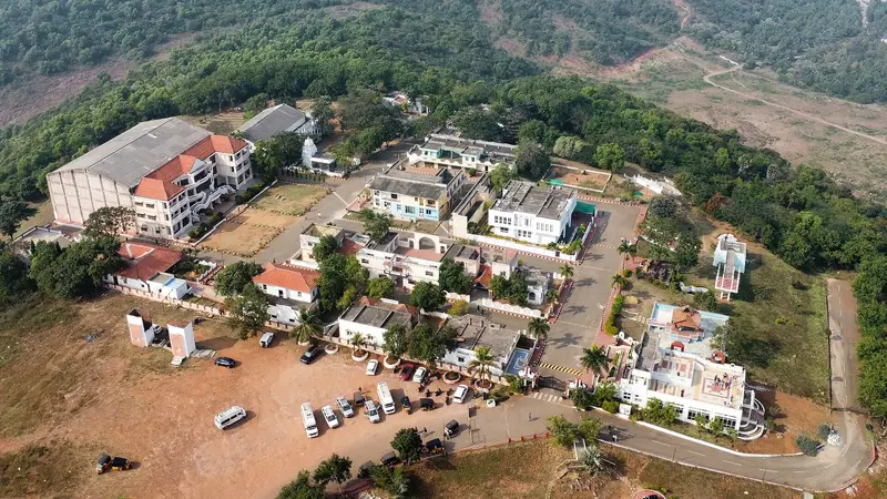
Hilltop Rama temple on the Bheemili road with a 40-foot white marble Hanuman statue
Visakhapatnam
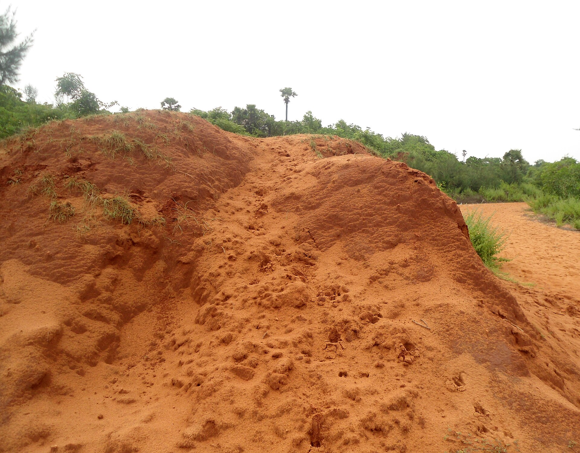
Photo: Adityamadhav83 · CC BY-SA 3.0 · Wikimedia Commons
Sign in to save places and plan trips, day by day.
Erra Matti Dibbalu, meaning red sand hills, is a coastal formation on the Bay of Bengal near Visakhapatnam in Andhra Pradesh. The hills extend over more than 1,500 acres along the shore. They were first documented in 1886 by William King, a geologist with the Geological Survey of India (GSI), and in 2016 the GSI declared about 3 sq km of the site, on the city's outskirts, a National Geological Monument.
The red mounds were shaped by erosion of sediments laid down along the coast. They began forming in the late Quaternary and kept changing through alternating wet and dry spells and shifting sea levels. A 2006 study put their average age at between 57,479 and 49,964 years BP, and concluded that the formation, begun in the late Pleistocene, carried on into the Holocene before settling into a stable form around 18,000 BP.
Unmapia
Coming soon
We’re still writing about Erra Matti Dibbalu (Red Sand Hills): its history, what’s there and why it’s worth the trip.
Where it is
17.87° N 83.43° E