 Offbeat Spot
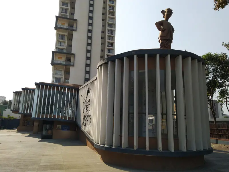
R. K. Laxman Museum
Balewadi museum on cartoonist R.; K.; Laxman, with the Common Man as guide and a gallery of crows
Pune
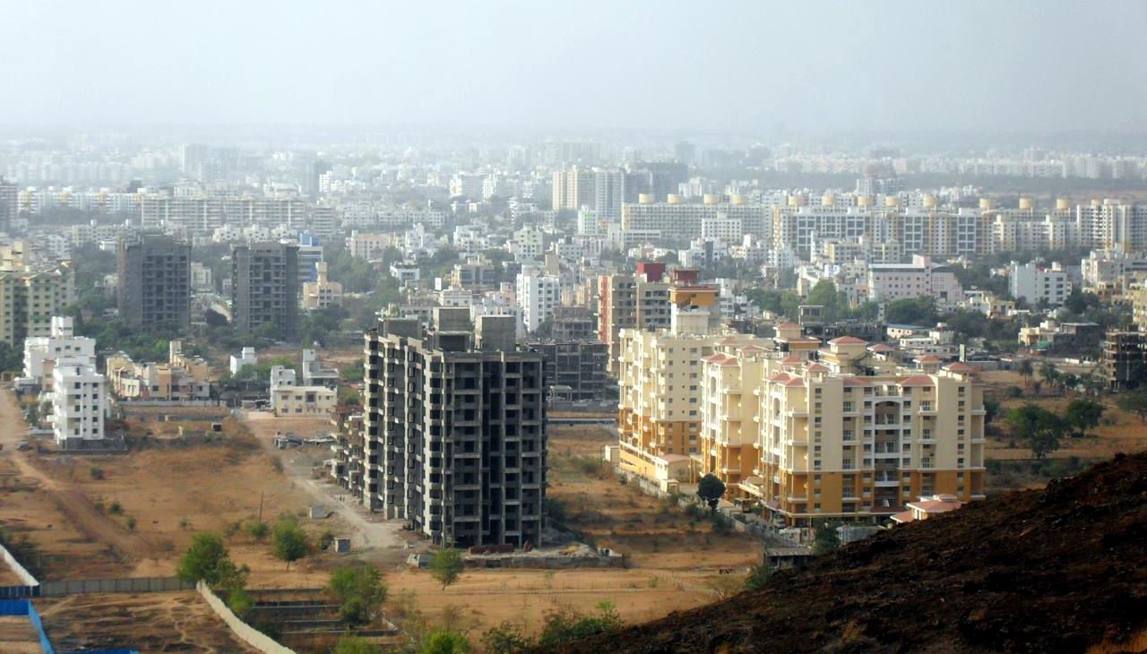
Photo: Rishabh Tatiraju · CC BY-SA 3.0 · Wikimedia Commons
Sign in to save places and plan trips, day by day.
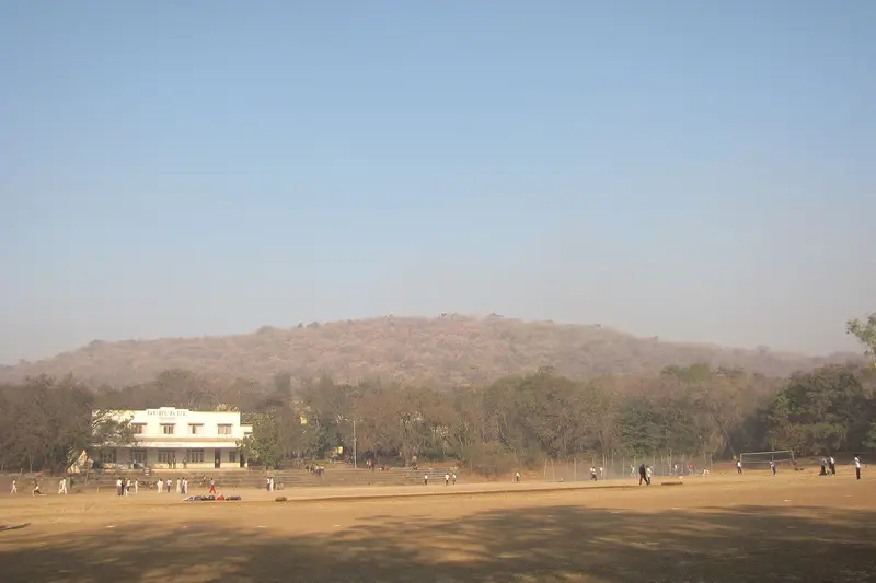
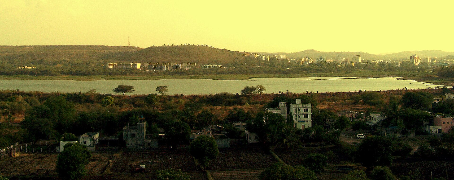
Baner Hill rises between the Pune suburbs of Baner and Pashan and, at 678 m (2,224 ft), ranks third in height inside the city limits, behind Vetal Hill and Sutarwadi Hill. It runs east to west, with a lower spur known locally as Pashan Hill, and forms part of the Baner-Pashan Biodiversity Park. From the top Baner lies on one side and Pashan on the other, and the air is a degree or two cooler than in the city below.
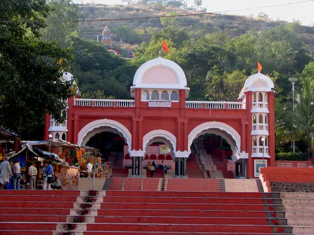
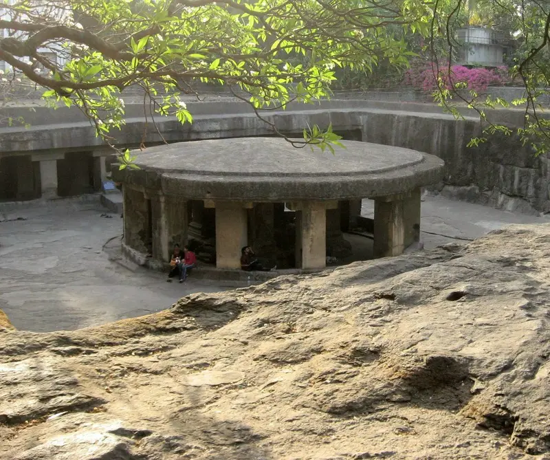
On the way up is a small cave temple. Folklore links the caves to the Pandavas during their exile, while the late Ninad Bedekar assigned them, from the style of their pillars and steps, to the Rashtrakuta period. In the 17th century Kavaji Kalamkar built a temple to the goddess Tukai Mata on the hillock, and another temple stands at its northern foot. Local people and volunteers run a planting drive here, and groups gather on Sunday mornings to replant the slopes.
Unmapia
Coming soon
We’re still writing about Baner Hill: its history, what’s there and why it’s worth the trip.
Where it is
18.56° N 73.79° E