 Trekking Spot
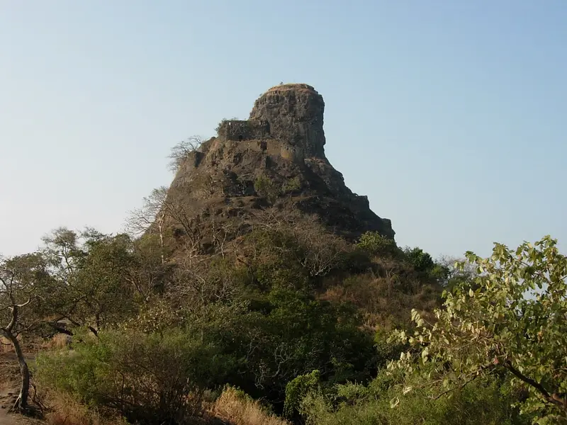
Irshalgad
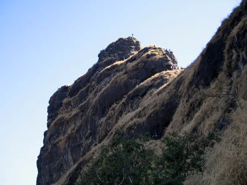
Rock pinnacle fort between Matheran and Panvel, a sister fort of Prabalgad, on a short trek from Chowk
Raigad
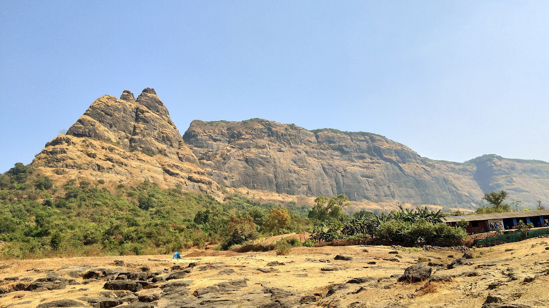
Photo: Niteshsavane143 · CC BY-SA 4.0 · Wikimedia Commons
Sign in to save places and plan trips, day by day.
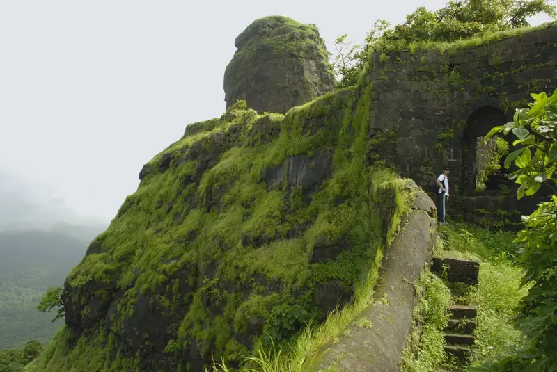
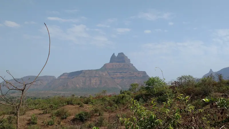
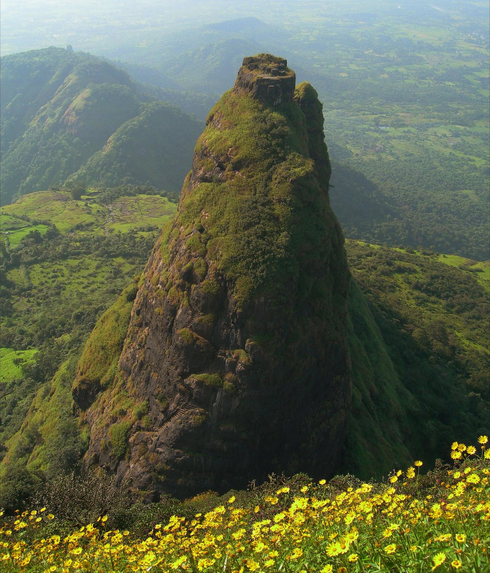
Prabalgad, once called Muranjan, stands at about 700 metres on the Prabal plateau in the Western Ghats between Matheran and Panvel, in Raigad district, and can be seen from the Mumbai–Pune expressway. Immediately to its north rises the steep Kalavantin pinnacle, 685 metres high, and Irshalgad is its sister fort. The Bahmani Sultanate built it to keep watch on the Panvel and Kalyan forts, and around 1458 Malik Ahmad took it while conquering the Konkan. Shahaji is said to have stayed here for a short time with Jijabai and the young Shivaji.
In 1657 Shivaji captured it from the Mughals. Its commander, Kesar Singh, alone among the Mughal garrisons put up a strong fight and died in the battle, and Shivaji gave his mother and grandchild safe passage out. In 1826 the rebel Umaji Naik and his companions are believed to have sheltered on the fort for a while. Rivers frame the plateau: the Ulhas to the east, the Gadhi to the west and the Patalganga to the south.
Unmapia
Coming soon
We’re still writing about Prabalgad: its history, what’s there and why it’s worth the trip.
Where it is
18.97° N 73.23° E