 Nature & Wildlife
Lal Tibba
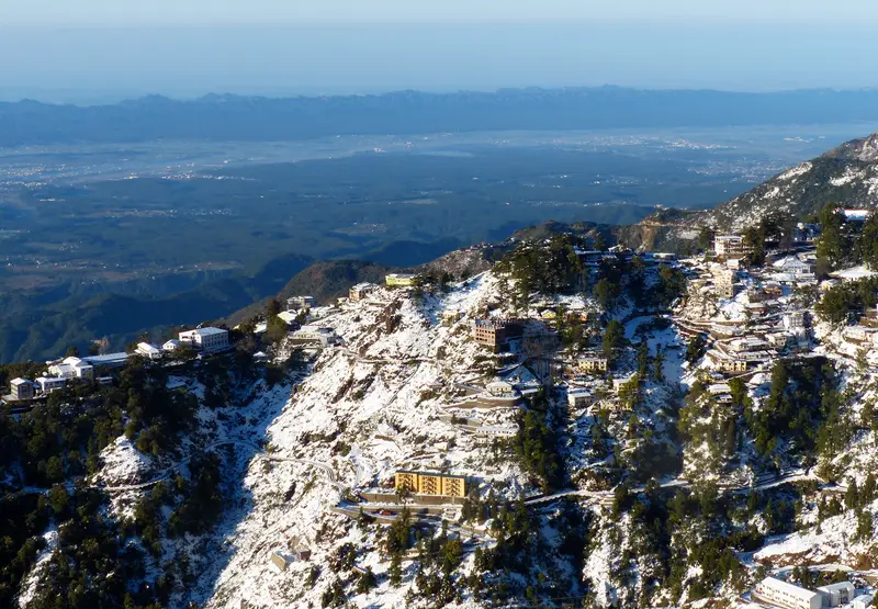
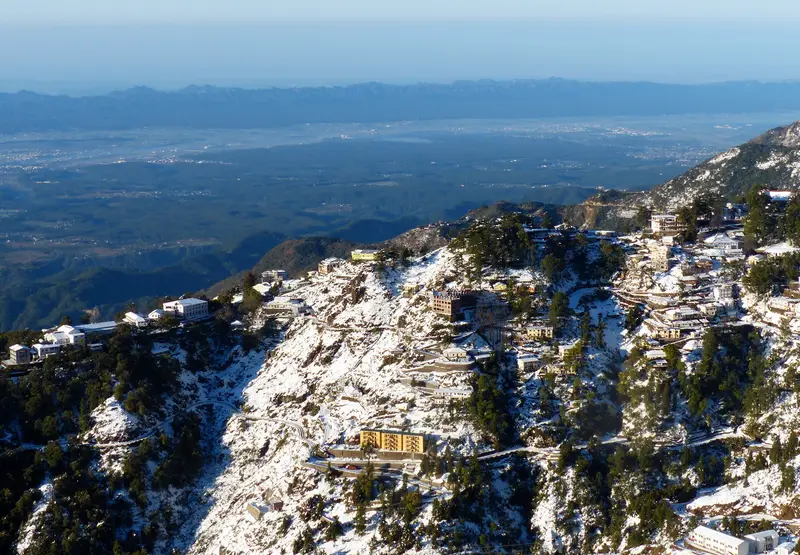
Highest point of Mussoorie in Landour, named Red Hill for its rhododendron blooms
Dehradun
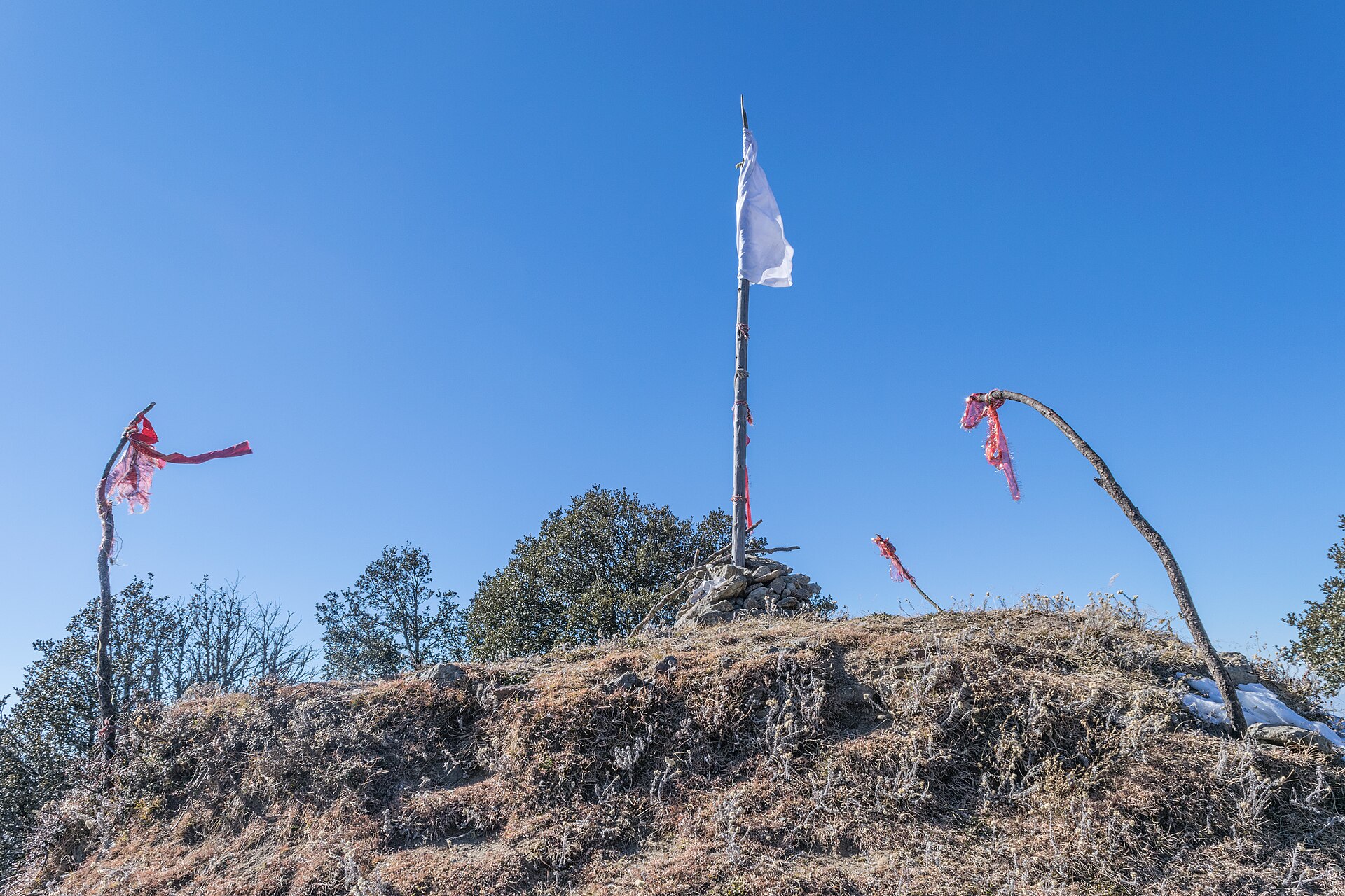
Photo: Ashish Gupta from Noida, India · CC BY 2.0 · Wikimedia Commons
Sign in to save places and plan trips, day by day.
Nag Tibba, the Serpent's Peak, rises to 3,022 metres and is the highest point of the Lesser Himalaya in the Garhwal division of Uttarakhand. It gives its name to the Nag Tibba range, one of the three chief ranges of the Lesser Himalaya; the Pir Panjal and Dhauladhar are the others. The peak lies about 16 kilometres from Landour, 57 from Mussoorie and 148 from New Tehri.
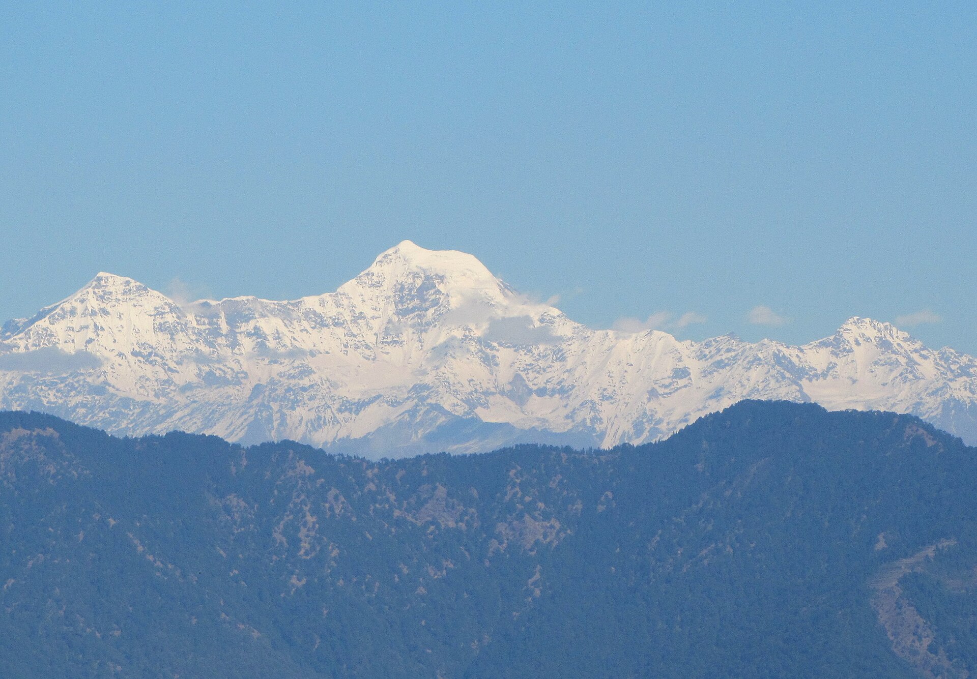
The mountain is believed to be the home of Nag Devta, the snake god, and tibba is the local word for a hill. A temple stands near the top, where villagers come to pray to Nag Devta for the safety of their cattle. From the summit the whole Bandarpoonch range can be seen to the north, towards Yamunotri, the peaks of the Great Himalaya beyond the lesser range.
Unmapia
Coming soon
We’re still writing about Nag Tibba: its history, what’s there and why it’s worth the trip.
Where it is
30.59° N 78.15° E