On the ground
- Access
- Nearest airport: Bagdogra International Airport (IXB), Bagdogra.; Nearest railway station: New Jalpaiguri Railway Station (NJP).
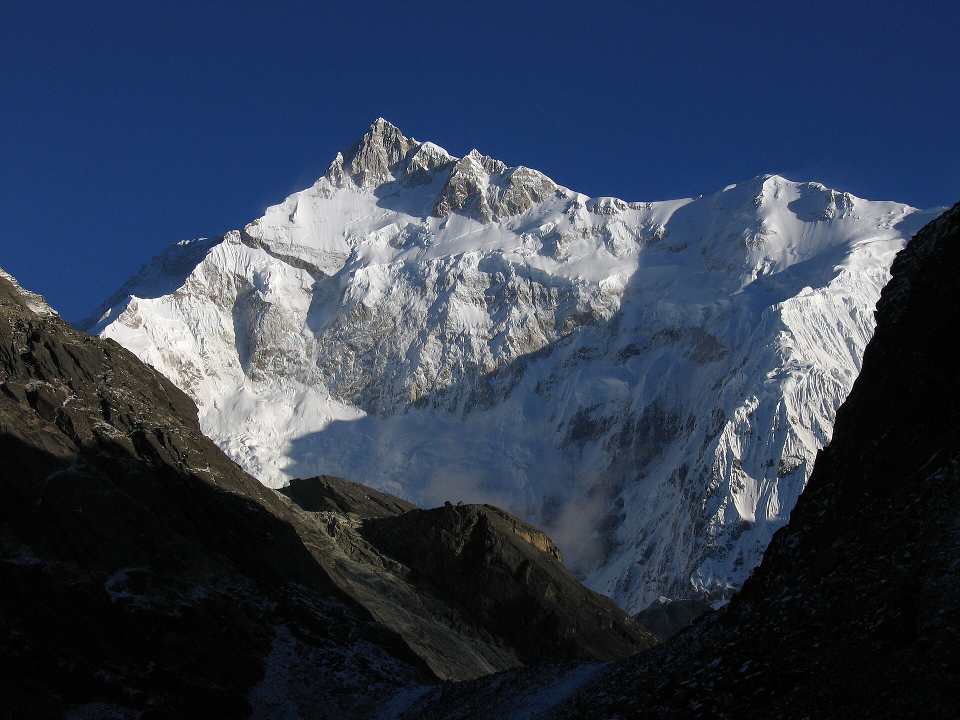
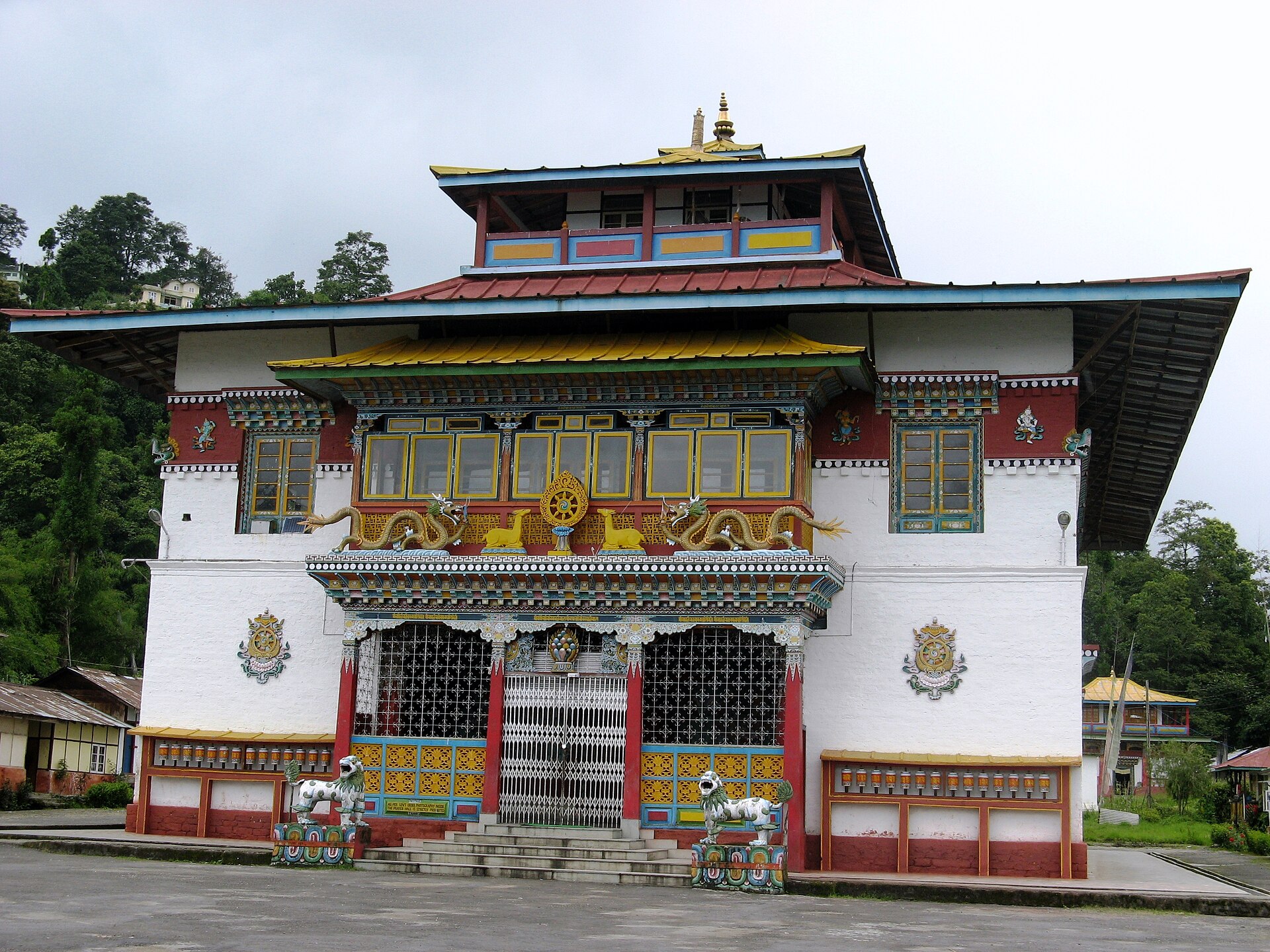
Photo: Ashinpt at enwiki · CC BY-SA 3.0 · Wikimedia Commons
Sign in to save places and plan trips, day by day.
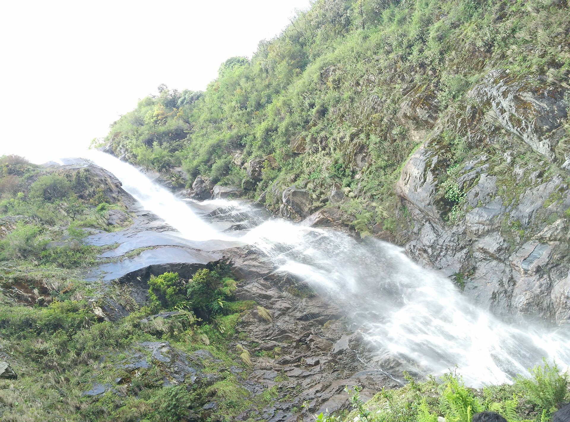
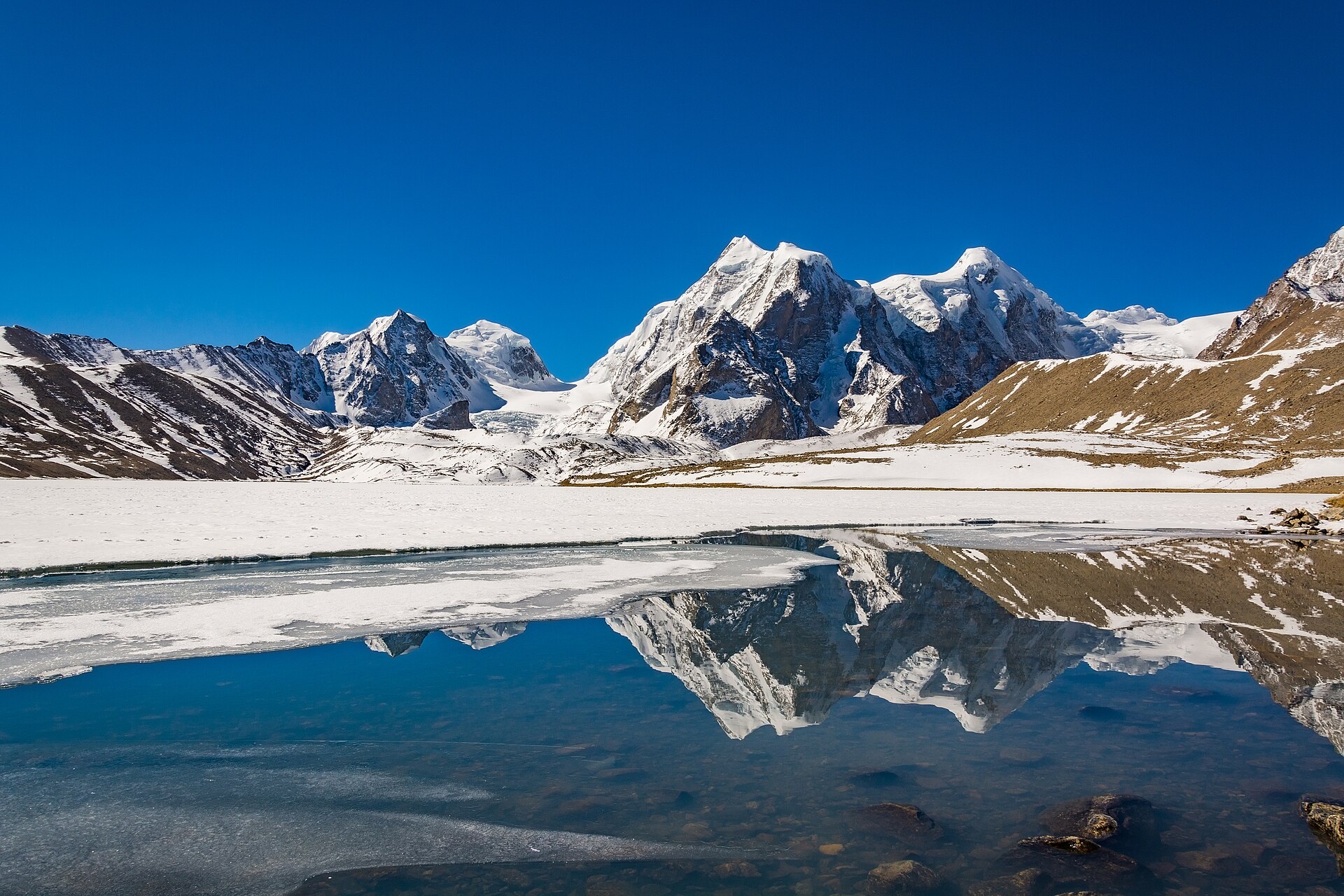
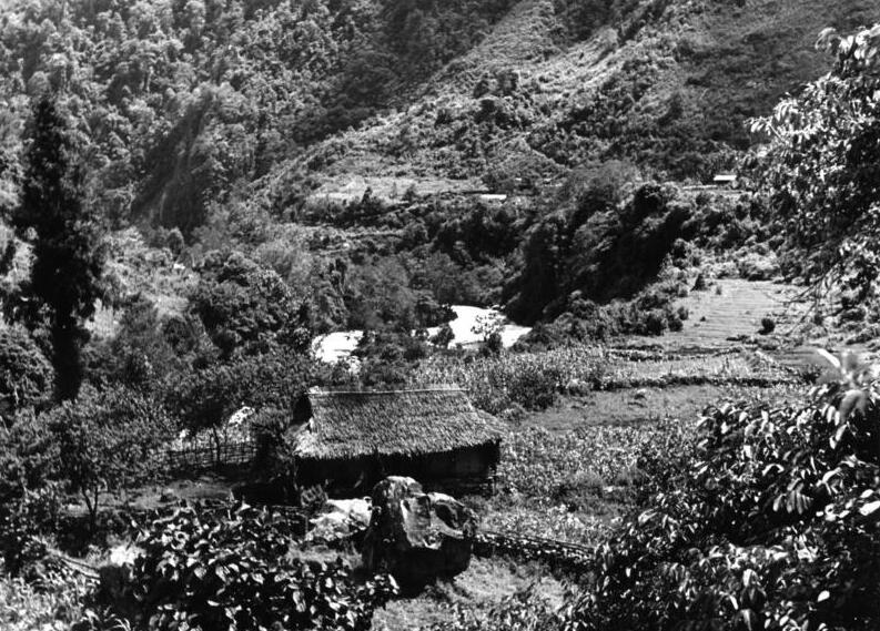
Khangchendzonga National Park covers about 1,784 sq km of the Sikkim Himalaya and is a UNESCO World Heritage Site. Its terrain runs from low valleys and old-growth forest up to glaciers and snow peaks, crowned by Mount Khangchendzonga, the third-highest mountain in the world. Around 19 major peaks, 18 glaciers and 17 alpine lakes lie within it; the largest glacier, the Zemu, is roughly 26 km long.
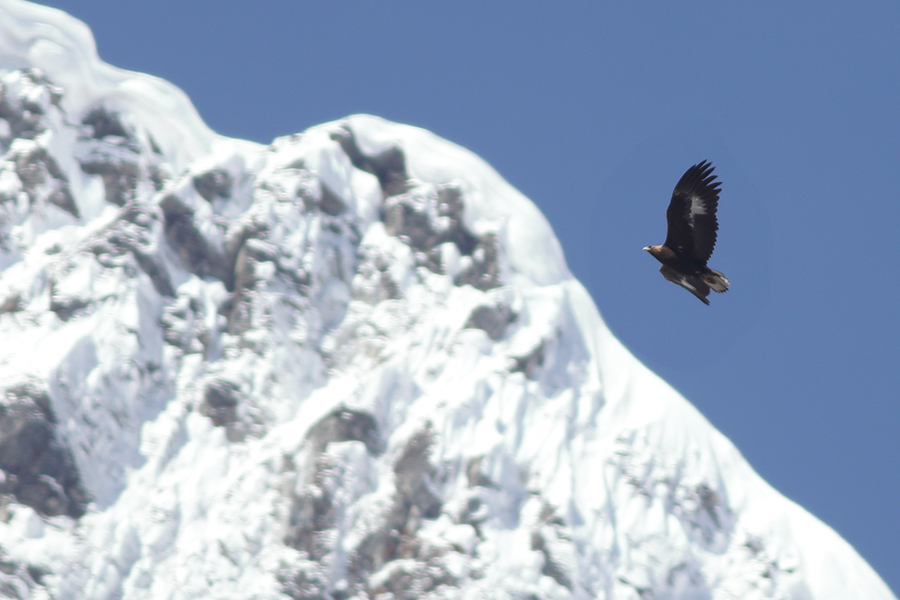
The park is also a sacred landscape. Buddhists regard it as a beyul, or hidden land, and the Lepchas know it as Mayel Lyang, so its mountains, lakes and glaciers hold a central place in Sikkimese identity. Its wildlife includes the red panda, snow leopard, musk deer, bharal and the great Tibetan sheep, and birds such as the grey peacock pheasant and Himalayan monal. Tholung Monastery and Lepcha villages lie in the buffer zone, and treks with camping are the main way to see the interior.
Unmapia
Coming soon
We’re still writing about Khangchendzonga National Park: its history, what’s there and why it’s worth the trip.
Where it is
No map pin yet: directions search for the name