 Trekking Spot
Rupin Pass
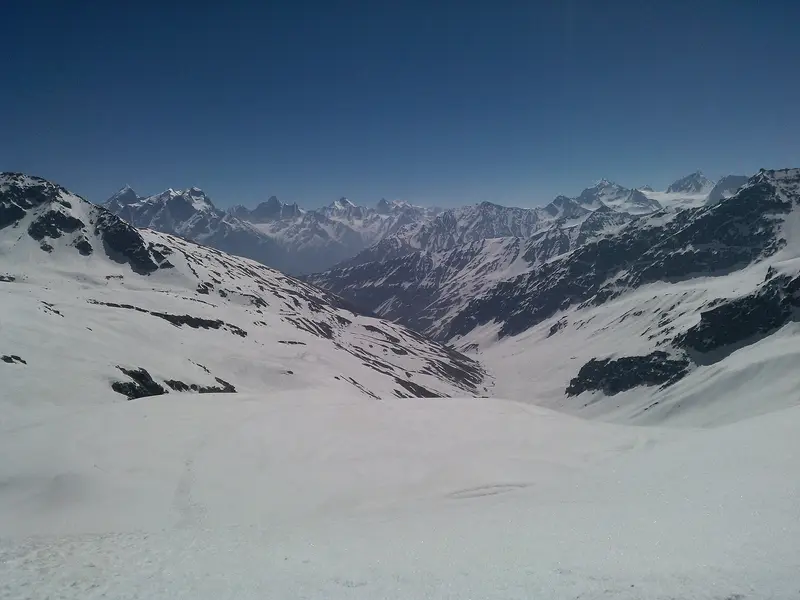
Classic 4,650-metre shepherd route from Dhaula to Sangla past waterfalls, snowfields and meadows
Kinnaur
Sign in to save places and plan trips, day by day.
This combined national park and wildlife sanctuary covers 958 square kilometres in the upper Garhwal Himalaya of Uttarkashi district, in the Supin range. It was set up on 1 March 1955 as a sanctuary and later became a national park, named after the freedom fighter and Home Minister Govind Ballabh Pant. The land rises from 1,400 to 6,323 metres.
The park hosts the government's snow leopard project and is one of the last Himalayan strongholds of the bearded vulture. For visitors it is best known for the Har Ki Doon valley, a well-known trekking route whose forest rest house stands among meadows of wild flowers, and for the high-altitude lake of Ruinsiyara. Rest houses at Naitwar, Taluka and Osla along the way to Har Ki Doon draw many trekkers. Dehradun, about 190 kilometres away, has the nearest airport and railway station.
Unmapia
Coming soon
We’re still writing about Govind Pashu Vihar National Park: its history, what’s there and why it’s worth the trip.
Where it is
31.10° N 78.29° E