 Nature & Wildlife
Gulmarg
Https://jktdc.co.in/
Famous · Baramulla
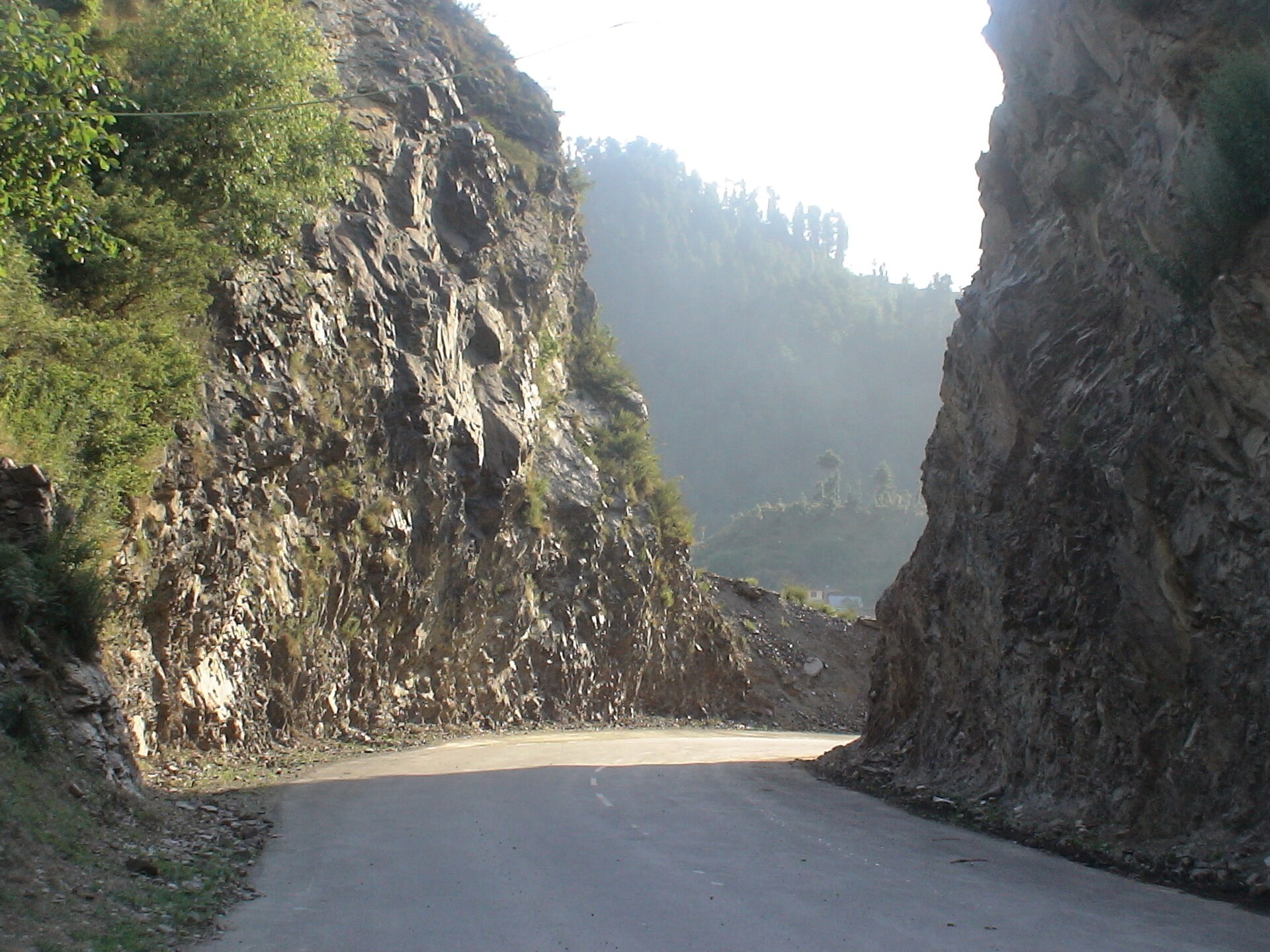
Photo: Naveenkar · CC0 · Wikimedia Commons
Sign in to save places and plan trips, day by day.
The Pir Panjal Pass, usually called Peer Ki Gali, is a mountain pass and visitor stop at 3,490 metres, the highest point on the Mughal Road linking the Kashmir Valley with Poonch. It lies about 40 km from Shopian and 80 km from Poonch. The name connects the pass with the Muslim saints Mir Sayyid Ali Hamadani and Sheikh Ahmed Karim; an old chronicle calls it Panchaladeva, recalling how high passes were once linked with deities.
This was one of the main gateways into Kashmir. After conquering the valley, Akbar improved the route into an imperial road from Lahore, and in 1814, during Ranjit Singh's first invasion of the valley, a Sikh force under Dewan Ram Dayal fought its way through the pass. The modern Mughal Road, built between 2005 and 2009, follows close to the historic line, which ran from Peer Ki Gali to the old Aliabad Sarai way station. Winter nights here often drop below minus 15 degrees.
Unmapia
Coming soon
We’re still writing about Pir Panjal Pass (Peer Ki Gali): its history, what’s there and why it’s worth the trip.
Where it is
33.63° N 74.52° E