 Trekking Spot
Joychandi Pahar
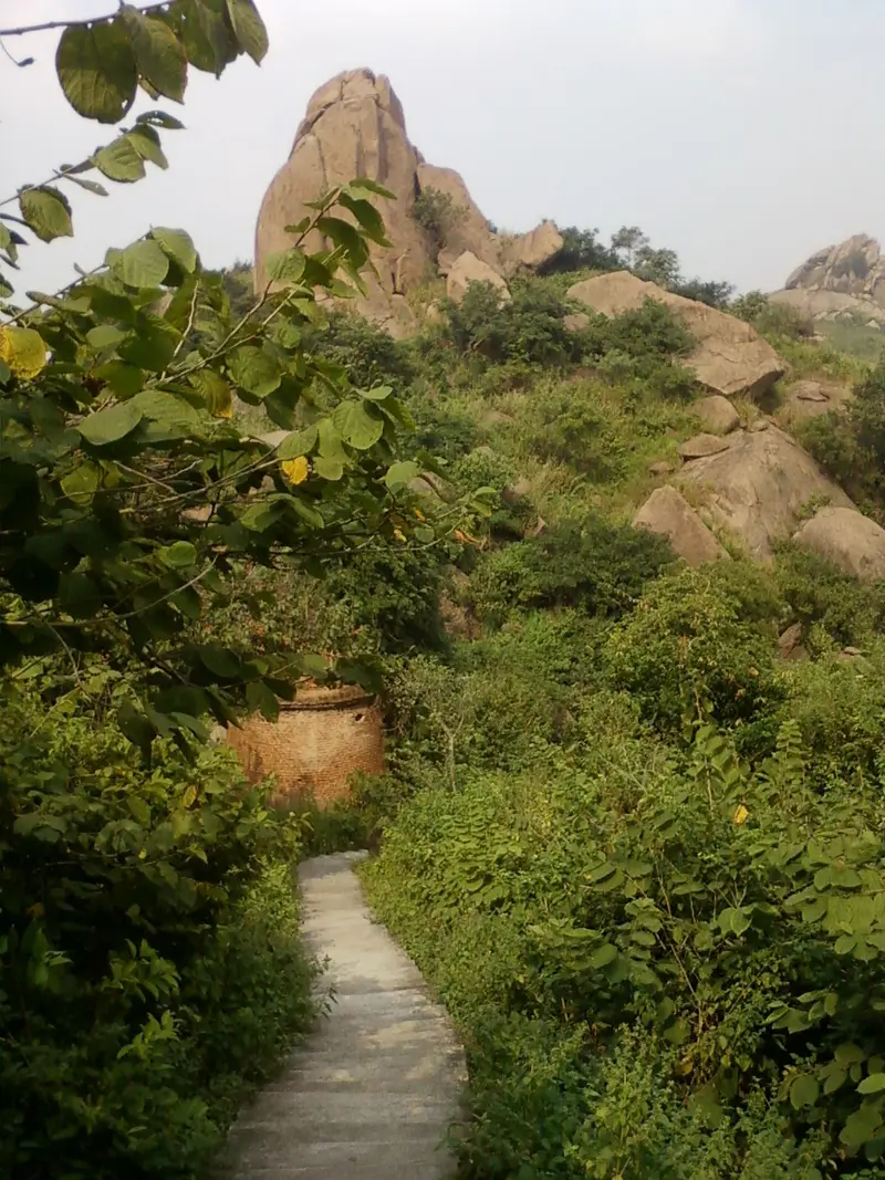
Rock-climbing hill near Raghunathpur in Purulia, where Satyajit Ray filmed much of Hirak Rajar Deshe
Purulia
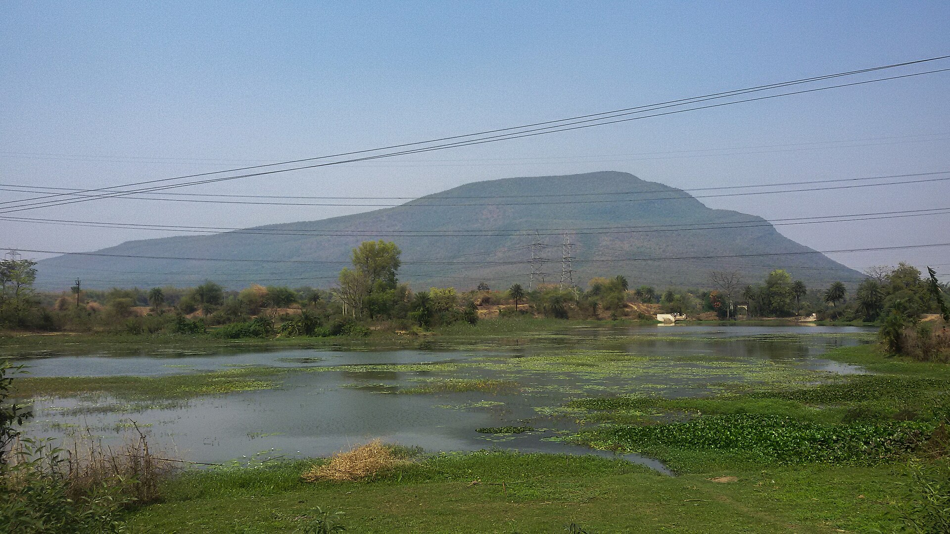
Photo: Sumitsurai · CC BY-SA 3.0 · Wikimedia Commons
Sign in to save places and plan trips, day by day.
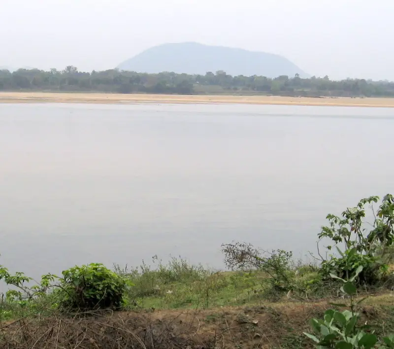
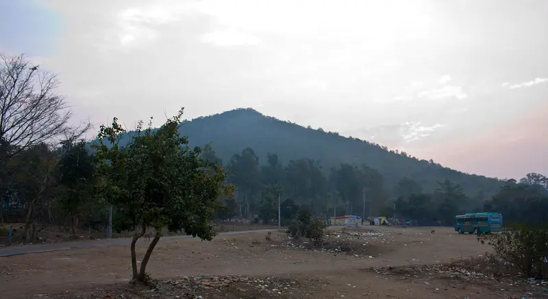
Panchet Hill, called Panchakot Pahar in Bengali, rises in Neturia block, in the far north-east of Purulia district. In 1911 H. Coupland described it as the most striking feature in that corner of the district, about 1,600 feet high and some 35 miles north of Purulia.
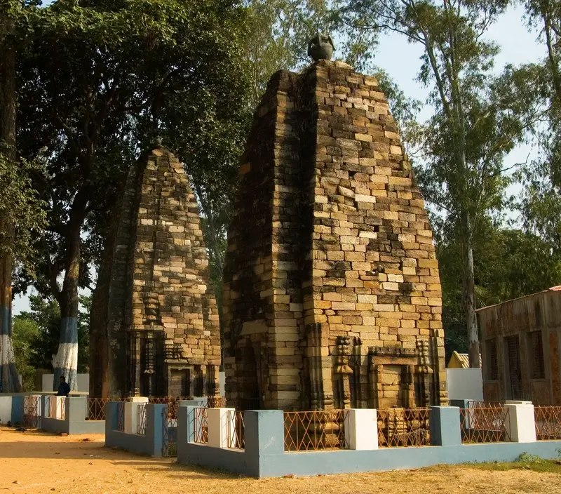
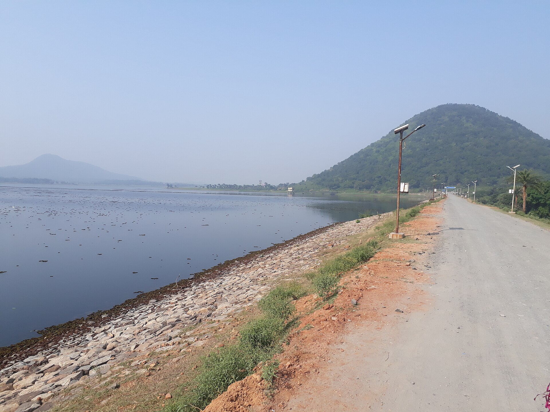
His account pictures a long ridge curved like a crescent, climbing to its summit at the eastern end and clothed in small but thick jungle, with handsome groves of mango and mahua on the low ground at its base. Below the eastern face stand the ruins of the Panchet Rajas' old palace and fort, with ancient temples both above and below them. The Panchet Dam now spans the Damodar below the hill.
Unmapia
Coming soon
We’re still writing about Panchet Hill: its history, what’s there and why it’s worth the trip.
Where it is
23.62° N 86.78° E