 Nature & Wildlife
Sonamarg
Https://jktdc.co.in/
Famous · Ganderbal
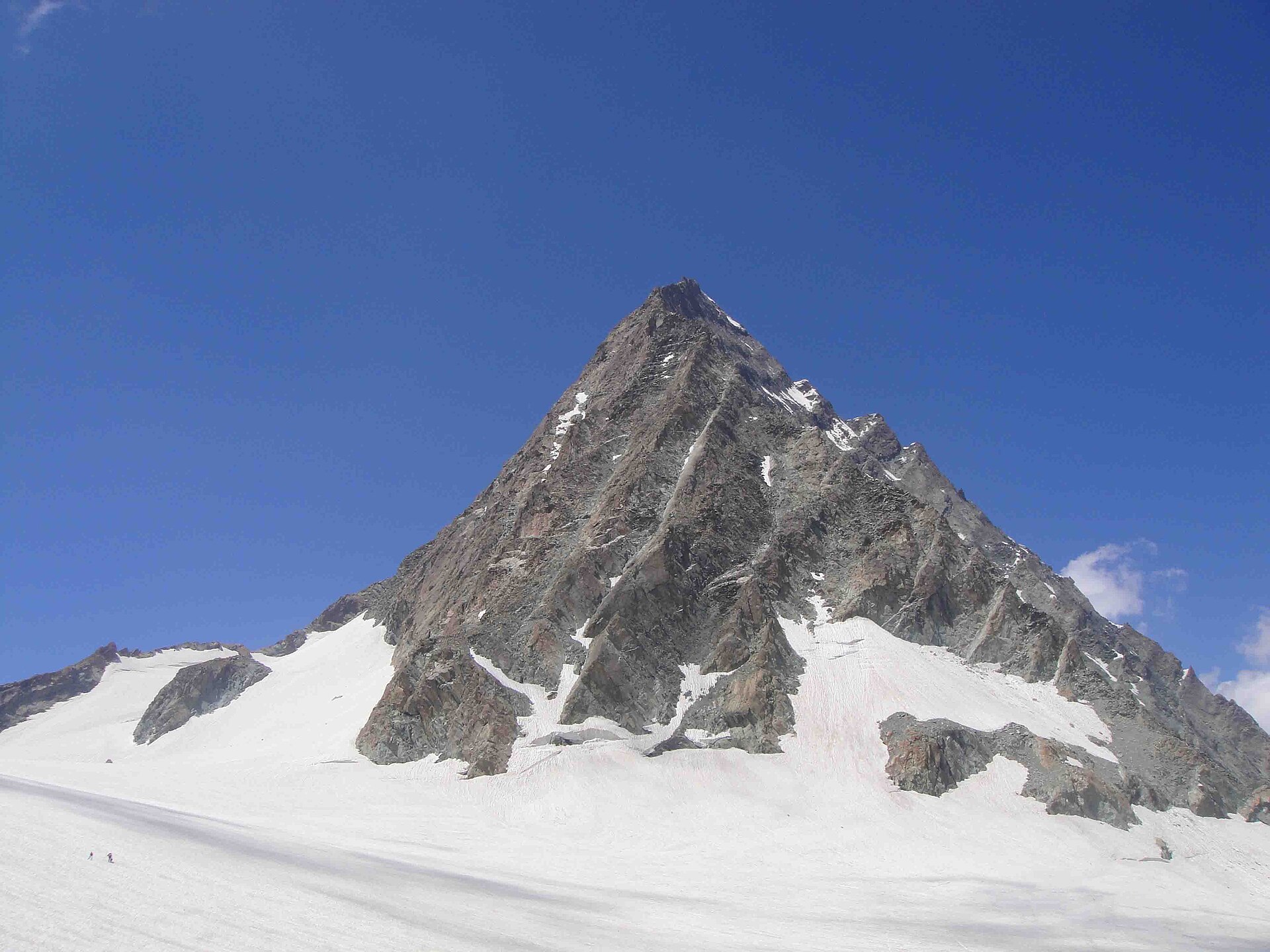
Photo: Irfanaru · CC BY-SA 3.0 · Wikimedia Commons
Sign in to save places and plan trips, day by day.
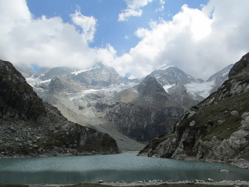
Kolahoi, known locally as Gashe-braed, is a 5,425-metre pyramid of rock and ice at the head of the Lidder Valley, the highest mountain in the Kashmir division. It rises from the Kolahoi Glacier, which lies at around 4,700 metres and is the main source of the Lidder River, which supplies drinking and irrigation water to Anantnag district before joining the Jhelum.
A British medical team led by Dr Ernest Neve made the first ascent in 1912. The climb is not without risk: in 2018 two members of a team coming down from the summit were killed by falling rock. The easiest line is the southern face, approached from Aru village near Pahalgam, and from Aru a high alpine trail of about 21 km leads up to the glacier, where icefalls and ice fields gather at the base of the peak.
Unmapia
Coming soon
We’re still writing about Kolahoi Peak and Glacier: its history, what’s there and why it’s worth the trip.
Where it is
34.17° N 75.33° E