 Spiritual Place
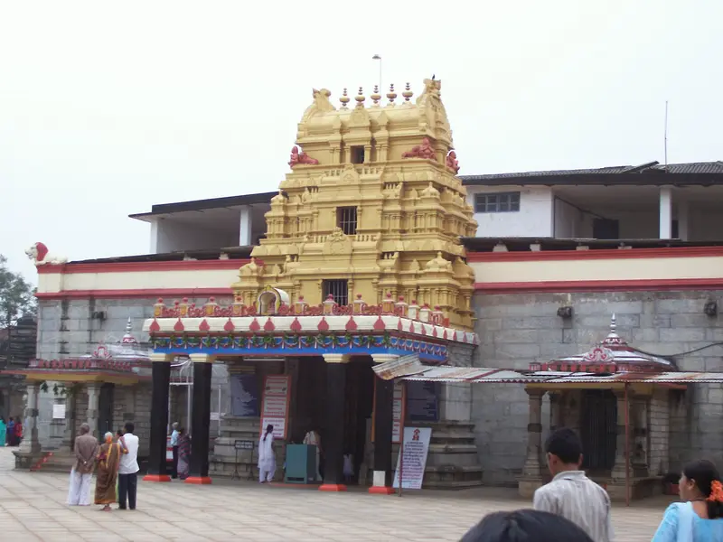
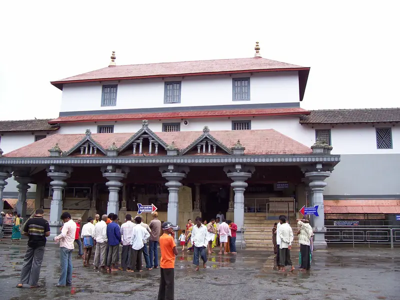
Dharmasthala Temple
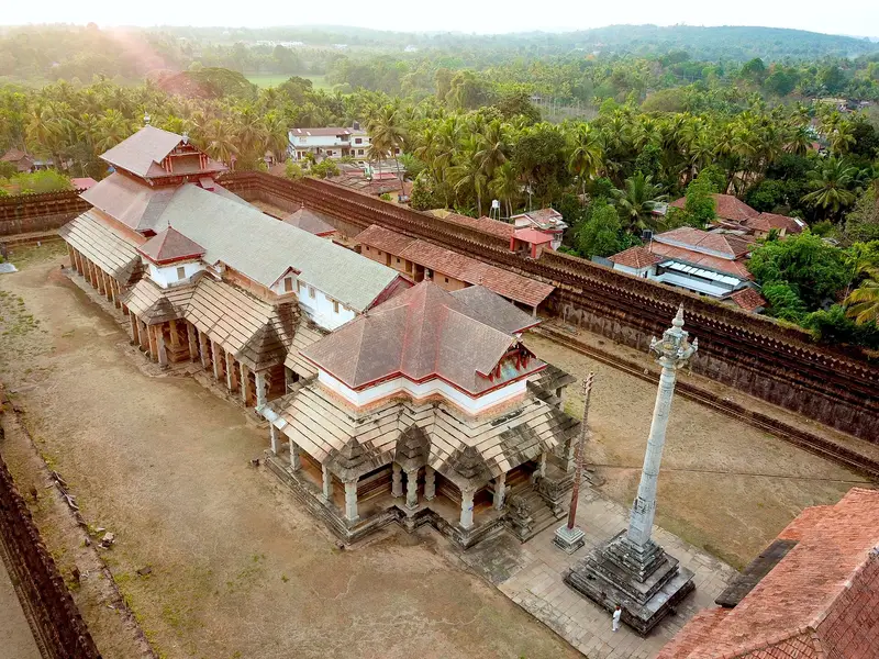
Centuries-old Manjunatha temple run by a Jain family, with Madhva priests serving Shiva
Dakshina Kannada
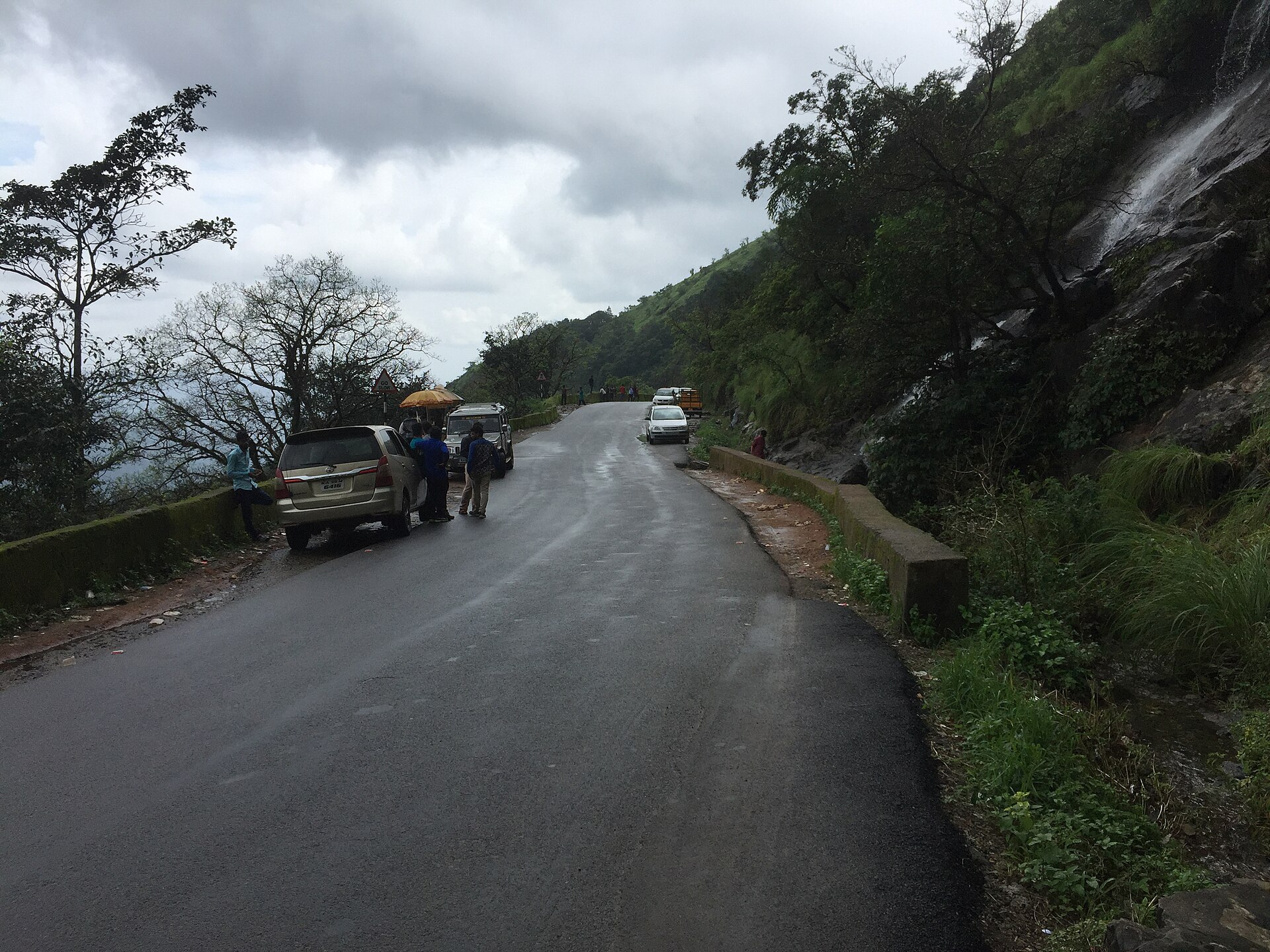
Photo: Vikramkkl · CC BY-SA 4.0 · Wikimedia Commons
Sign in to save places and plan trips, day by day.
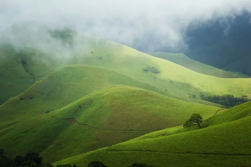
Charmadi Ghat is a ghat road over the Western Ghats between Belthangady taluk in Dakshina Kannada and Mudigere taluk in Chikkamagaluru district, on the highway from Mangaluru to Kadur. It climbs from Charmadi village, about 153 metres up and 11 kilometres from Ujire, to near Kottigehara at about 970 metres, through 12 hairpin bends on narrow roads, and the section gets over 7,000 mm of rain in the monsoon.
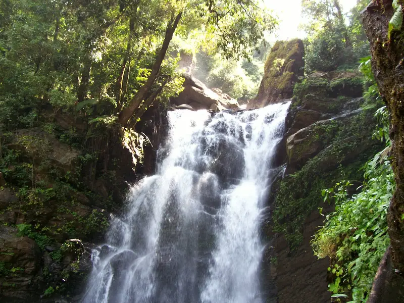
Peaks around the pass include Jenukallu Gudda, Kodekallu Gudda and Baalekallu Gudda, the last at the 11th hairpin; in Kannada and Tulu gudda means hill and kallu rock. On a clear day the Mangaluru coast is visible from the top. Within the ghat the Bandaje Arbi waterfall drops about 200 feet, and the hilltop fort of Ballarayanadurga lies some 10 kilometres from Sunkasale on the Kottigehara–Kalasa road. Winters are chilly here compared with the rest of Dakshina Kannada.
Unmapia
Coming soon
We’re still writing about Charmadi Ghat: its history, what’s there and why it’s worth the trip.
Where it is
13.05° N 75.40° E