
When to go
- Time of day
- Open 6:00 AM – 10:00 PM
Sign in to save places and plan trips, day by day.
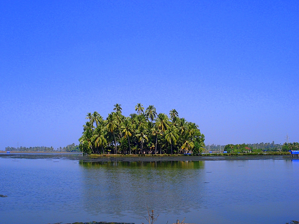
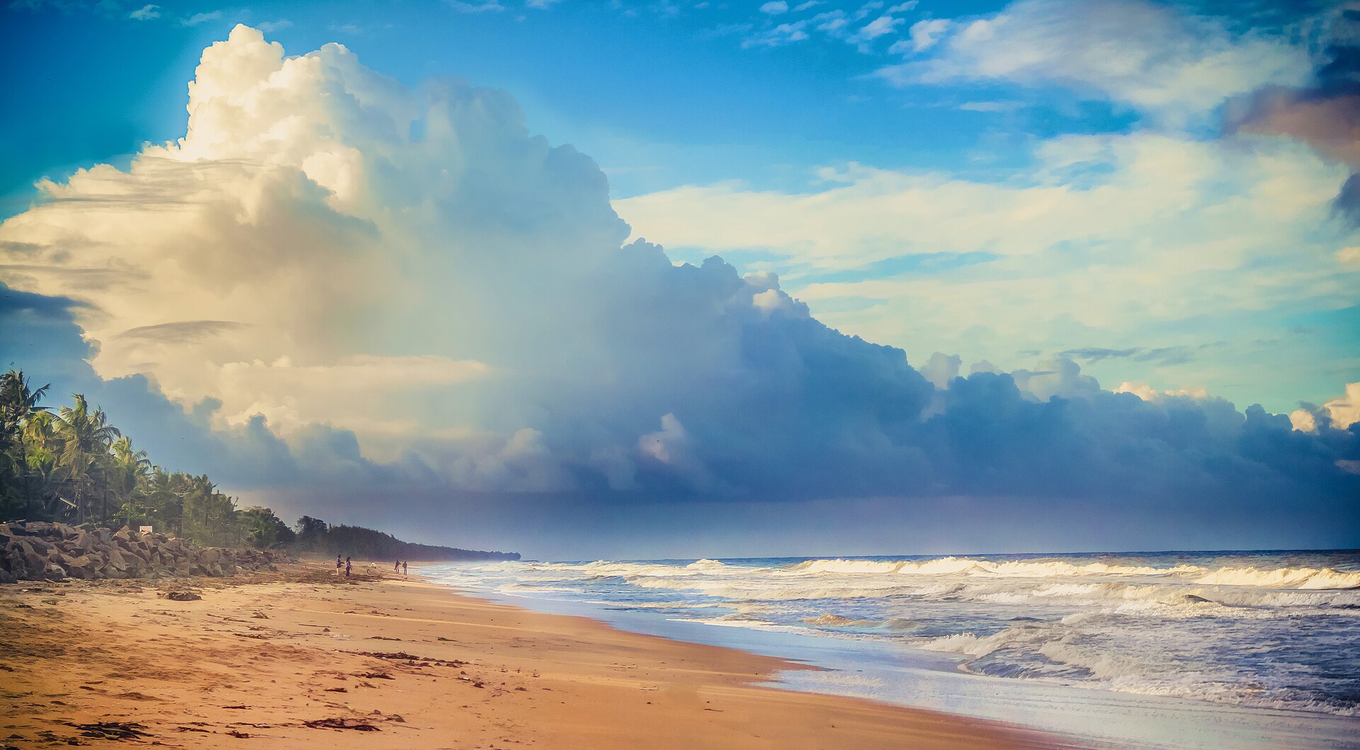
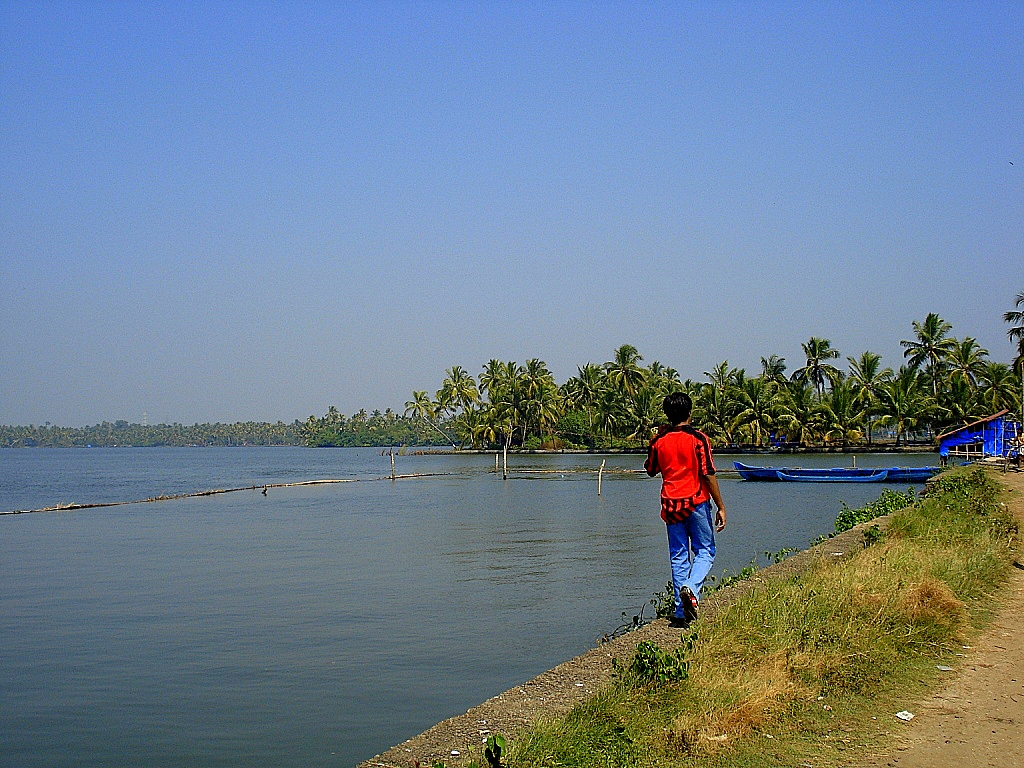
Vypin, also spelled Vypeen, is a narrow island about 27 km long, with the Arabian Sea on its west side and the Vembanad Lake backwaters on its east. The Goshree bridges now join it to mainland Kochi, replacing the ferries once needed. Its beaches include Cherai, Munambam and Puthuvype, and Njarakkal is its commercial centre.
A small fishing community lived here before the Portuguese came in the 16th century. They brought Catholicism, built churches such as the Church of Our Lady of Hope, and put up Pallipuram Fort at the northern tip, among the earliest forts built by Europeans in the country. Some Anglo-Indian residents still speak an early Portuguese-based Creole shaped by Malayalam grammar.
Unmapia
Coming soon
We’re still writing about Vypin Island: its history, what’s there and why it’s worth the trip.
Where it is
No map pin yet: directions search for the name