 Nature & Wildlife
Manasbal Lake
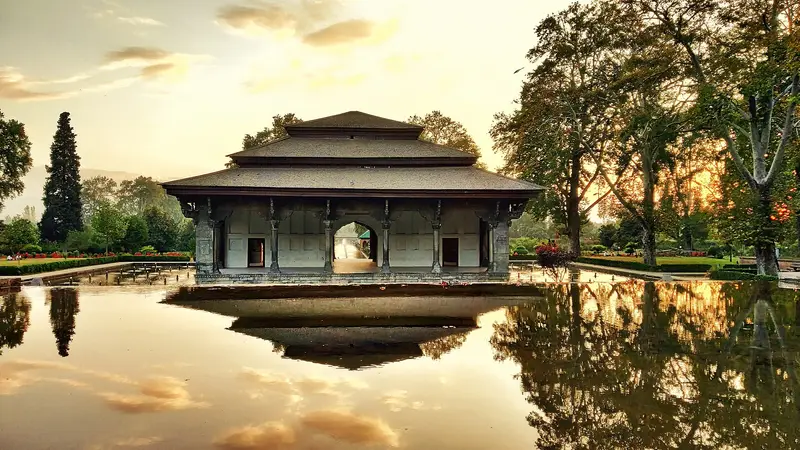
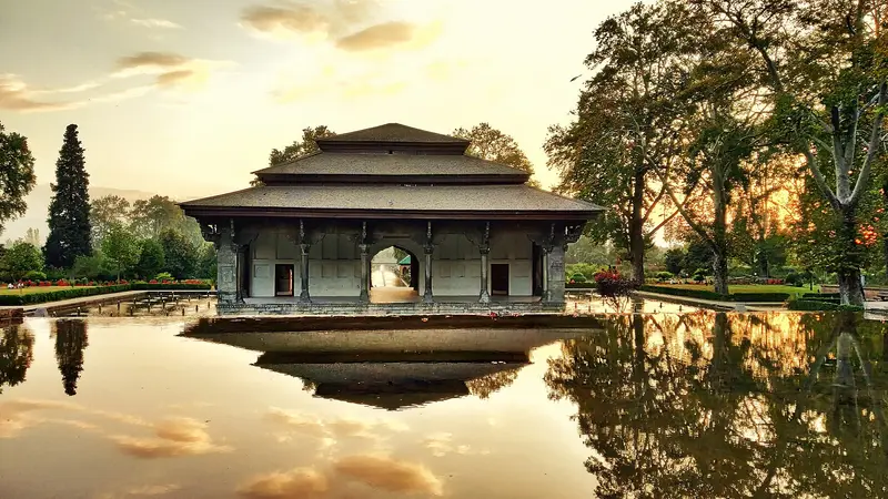
Deep, clear Kashmir lake ringed by lotus in summer and overlooked by a Mughal garden
Ganderbal
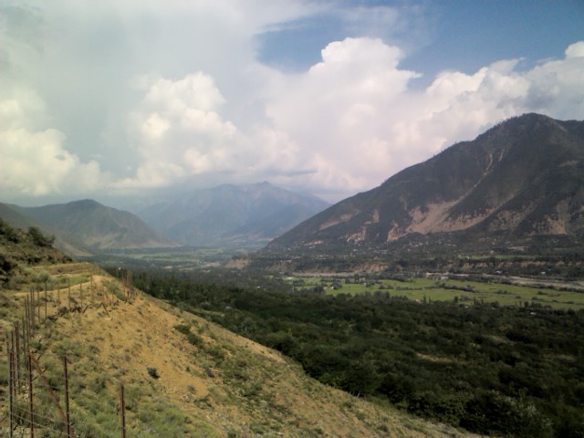
Photo: Mehrajmir13 at en.wikipedia · GFDL · Wikimedia Commons
Sign in to save places and plan trips, day by day.
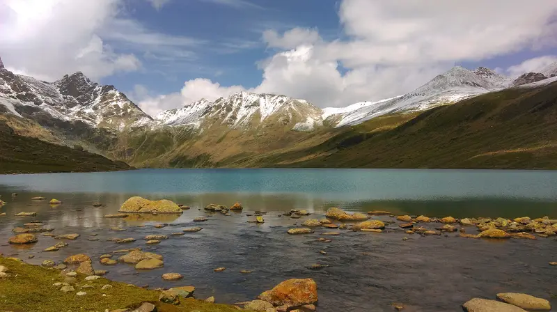
The Sind Valley is a side valley of the Kashmir Valley in Ganderbal district, entered about 33 km northeast of Srinagar. Cut by the Sind River, which rises at the Machoi Glacier near Drass, it is a gorge roughly 65 km long and usually around a kilometre wide, narrowing in places to under 500 metres, just enough room for the NH 1D highway to Ladakh. The road closes in winter when snow blocks the Zojila.
The valley once formed part of a Silk Road route linking India with China and Central Asia, and Hinduism, Buddhism and later Islam reached Kashmir along it. Today the river runs past pine and fir forest and meadows to well-known spots including Sonamarg, the meadow of gold, as well as Baltal, Gagangeer, Naranag and Wayil. Black and brown bears, musk deer, snow leopards and hangul live here, and ibex and markhor are seen around Sonamarg.
Unmapia
Coming soon
We’re still writing about Sind Valley: its history, what’s there and why it’s worth the trip.
Where it is
34.29° N 74.81° E