 Historical Place
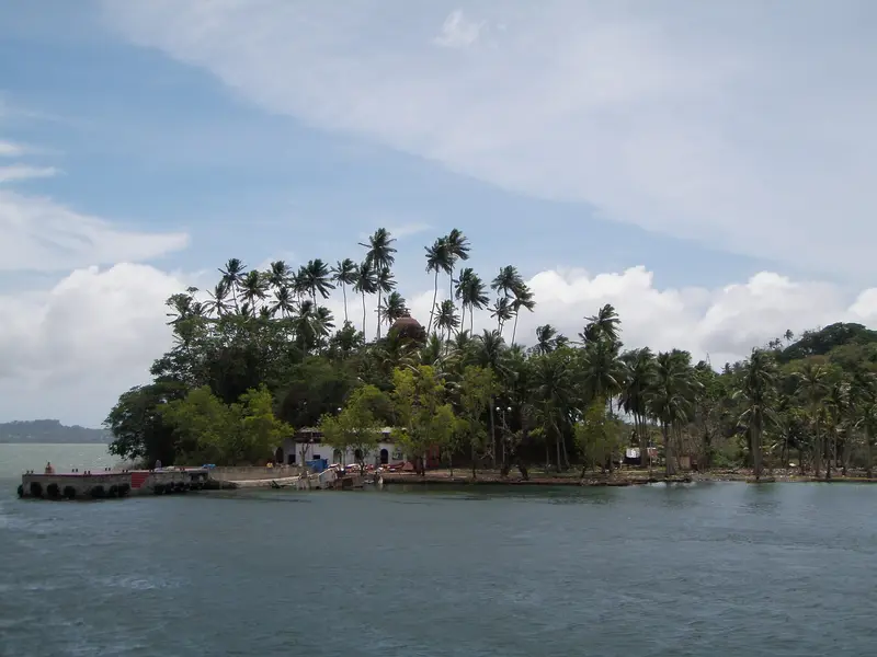
Viper Island
Harbour island near Port Blair with the ruined Viper Jail and gallows of the colonial penal era
Port Blair / Sri Vijaya Puram
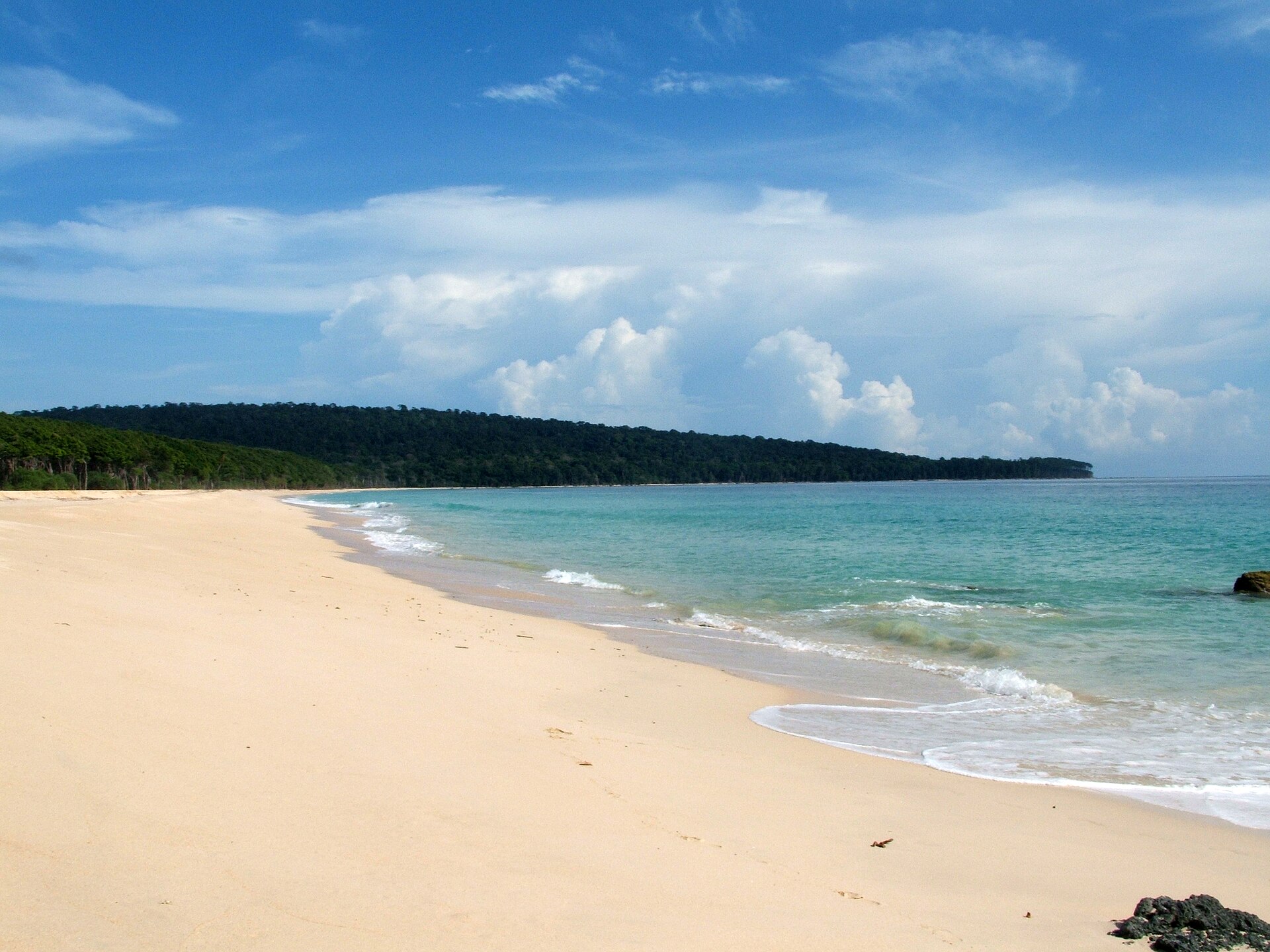
Photo: jpaul211 · CC BY-SA 3.0 · Wikimedia Commons
Sign in to save places and plan trips, day by day.
Rutland Island lies about 20 km south of Port Blair, across the Macpherson Strait from South Andaman. It is hilly, with Mount Ford rising to 433 metres in the north and Mount Mayo to 227 metres in the south, and much of it is covered in open jungle and scrub. The island was once home to the Jangil, an Andamanese people last encountered in 1907 and later found to have died out. Today a few hundred people live in six small villages.
The shallow water around the island holds coral and small reef fish, and the island is used as a base for training open water divers. Visitors head for Jahaji Beach, Bada Balu, the Manner Strait, Photo Nallah and Dani Nallah. A lighthouse stands on a hillside in the north, around 2 km from the landing point.
Unmapia
Coming soon
We’re still writing about Rutland Island: its history, what’s there and why it’s worth the trip.
Where it is
11.42° N 92.17° E