 Spiritual Place
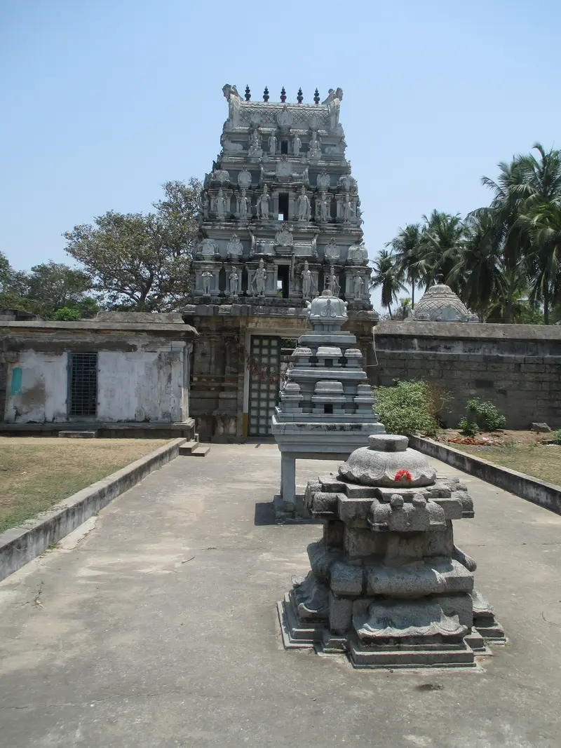
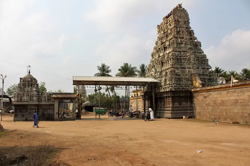
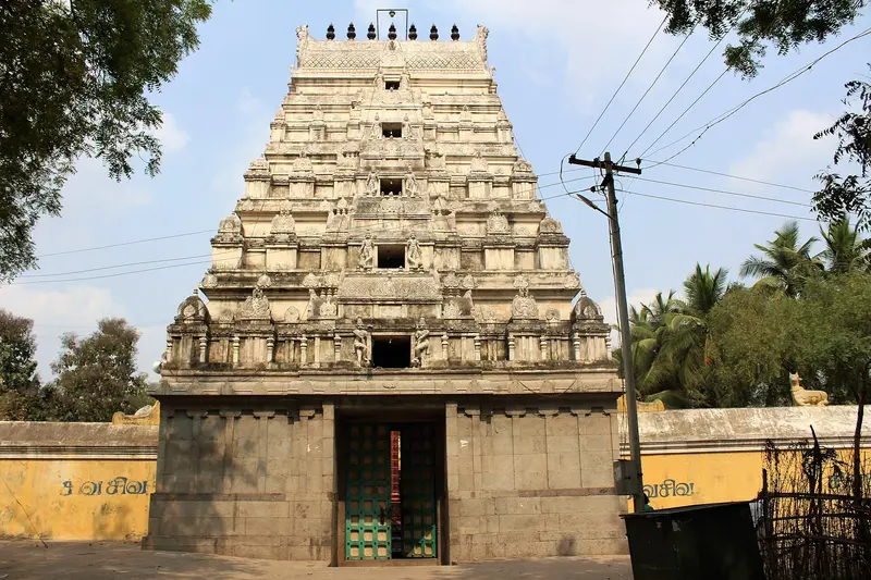
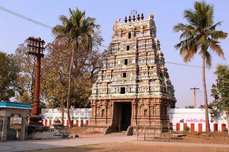
Atulya Nadheswarar Temple
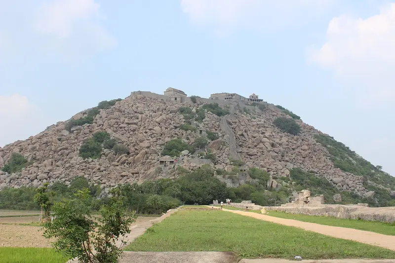
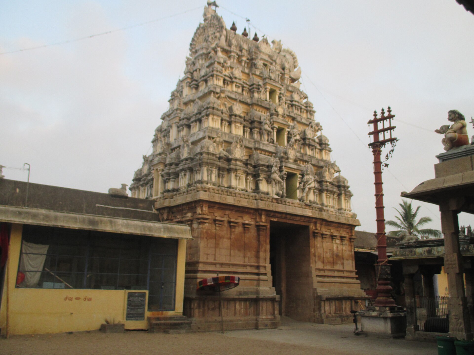
Hilltop Shiva temple at Arakandanallur with a seven-tier gopuram, Pallava cave shrines and 96 inscriptions
Viluppuram
Sign in to save places and plan trips, day by day.
Sitheri, also spelt Sitteri, lies in Dharmapuri district's Harur taluk, on the Sitheri Hills, part of the Eastern Ghats in Tamil Nadu. It lies at an altitude of about 1,097 metres, on rolling terrain that ranges from 240 to 1,266 metres.
The area holds a wide spread of forest, from evergreen, semi-evergreen and riverside woods to dry deciduous scrub and southern thorn forest. Temperatures run from around 19°C in winter to 40°C in summer, and both the southwest and northeast monsoons bring rain, about 900 mm a year. Sitheri village covers some 400 km² and had just over 9,000 residents in 2010.
Unmapia
Coming soon
We’re still writing about Sitheri: its history, what’s there and why it’s worth the trip.
Where it is
11.90° N 79.15° E