 Historical Place
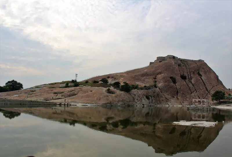
Namakkal Rock Fort
Rock outcrop, fort remains and temple traditions.
Famous · Namakkal
Sign in to save places and plan trips, day by day.
The Pachaimalai, from the Tamil for 'green hills', is a range in central Tamil Nadu that extends the Eastern Ghats, with a hill station in Gangavalli taluk of Salem district. The hills rise from about 540 to 1,410 metres and, with neighbouring ranges, separate the Kaveri and Palar basins. Most rain arrives with the north-east monsoon, and the hills feed some 30 lakes at their foot. The Sweata Nadi and Kallar rivers rise here, and streams tumble down in waterfalls such as Koraiyar, Mangalam Aruvi and Mayil Oothu.
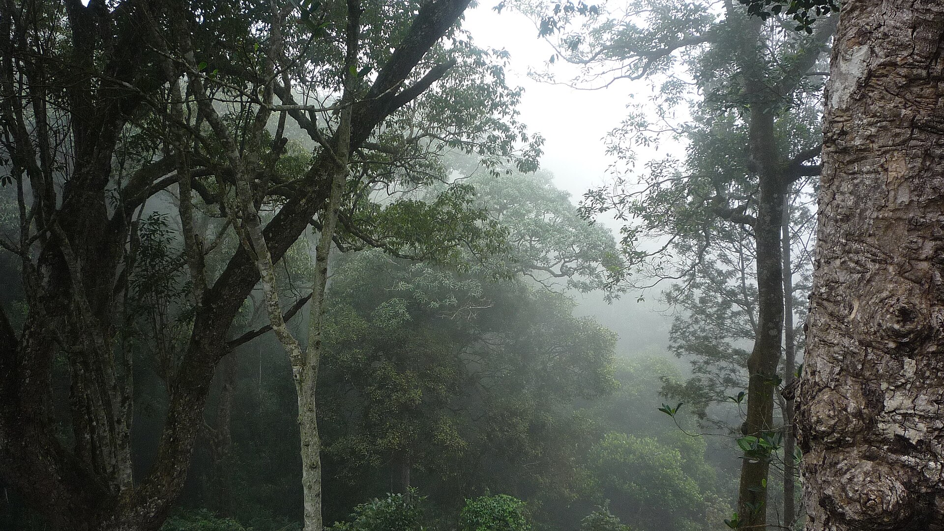
Dry evergreen and deciduous forest clothes the slopes, with sal on the hilltops and scrub lower down. Animals include spotted deer, mouse deer, sloth bear, slender loris and the Indian giant squirrel, and birds range from junglefowl and the Indian pitta to kingfishers. The indigenous Pachaimalaiyali people live in the hills, where rice, millets and peanuts are farmed and coffee, cashew and pepper grow in plantations. Sengattupatti, a village on top, has rest houses and dormitories for visitors.
Unmapia
Coming soon
We’re still writing about Pachaimalai Hills: its history, what’s there and why it’s worth the trip.
Where it is
11.18° N 78.35° E