
On the ground
- Access
- Nearest airport: Bareilly Airport (BEK), Bareilly.; Nearest railway station: Kathgodam Railway Station.
Sign in to save places and plan trips, day by day.
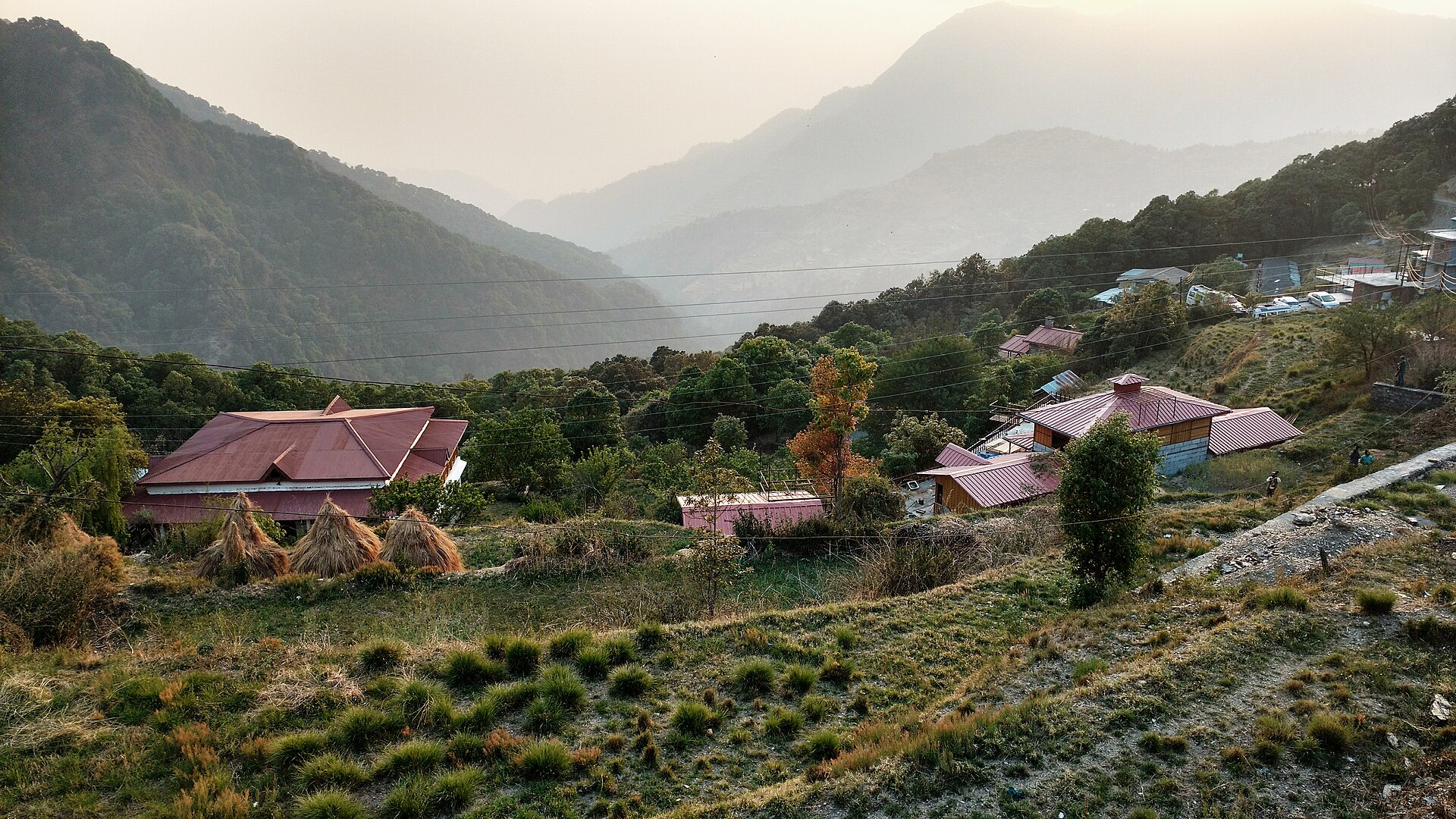
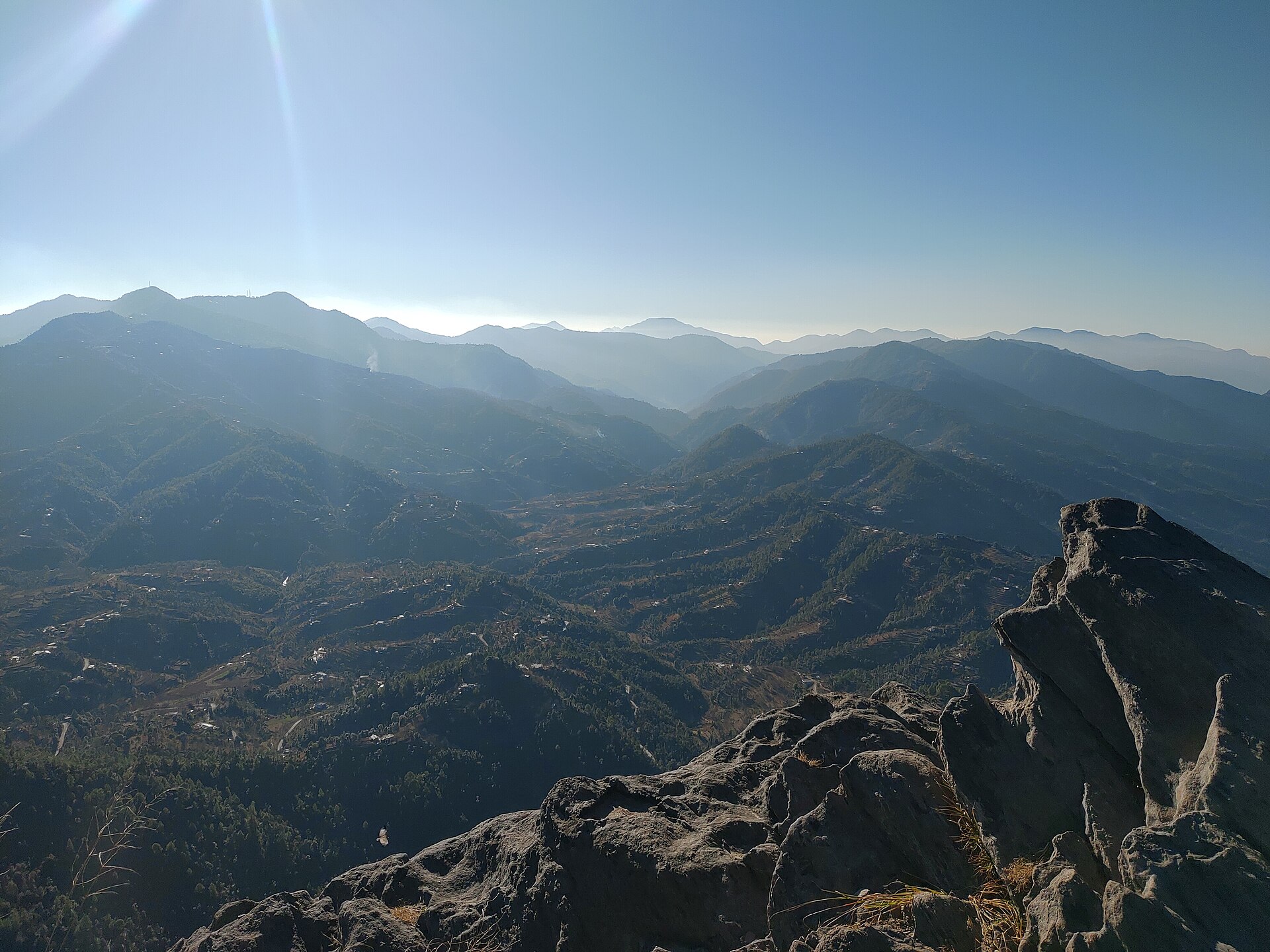
Naina Peak, also called China Peak, rises to 2,615 metres and is the highest point in Nainital. Snow covers it in winter, and in summer wildflowers grow on its slopes while some snow lingers in shaded spots. From the top, the view takes in the kidney-shaped Naini Lake, the Nanda Devi peak and, when the air is clear, ranges near the Tibet border.
The 6 km trail starts from Mallital and climbs steeply through rhododendron, moss-covered woods and stands of deodar, cypress and pine, with a lodge serving tea about halfway. The Tanki Band taxi stand is closest to the base, and ponies with local guides are available for those who prefer not to walk.
Unmapia
Coming soon
We’re still writing about Naina Peak: its history, what’s there and why it’s worth the trip.
Where it is
No map pin yet: directions search for the name