 Nature & Wildlife
Askot Wildlife Sanctuary
Musk deer reserve in Pithoragarh rising from 2,000 to over 22,000 feet
Pithoragarh
Sign in to save places and plan trips, day by day.
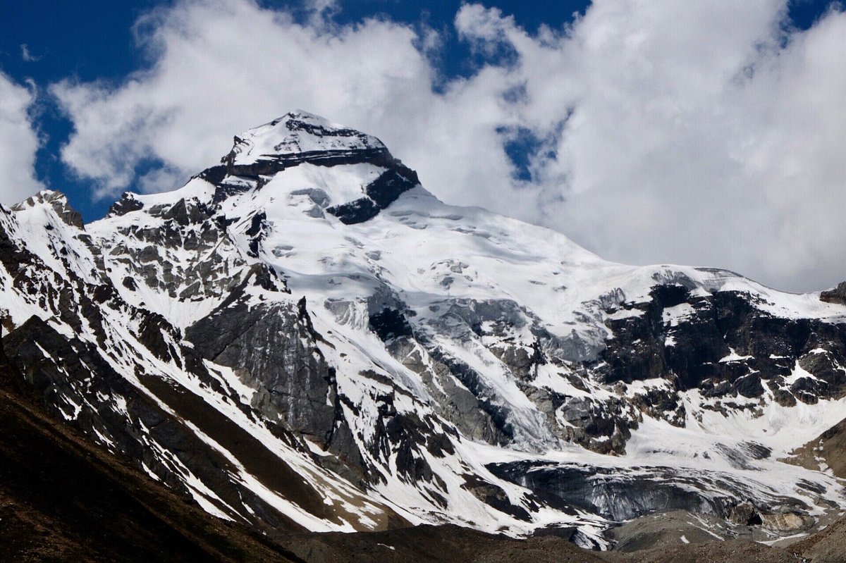
Kuthi Valley, also spelt Kuti, is a Himalayan valley in the Pithoragarh district of Uttarakhand, and the final valley on the Indian side of the Tibet border. It runs north-west to south-east and carries the Kuthi Yankti, one of the two headstreams of the Kali River, which rises near Wilsha below the Limpiya Dhura pass, passes Jolingkong lake at 4,630 m and meets the Kalapani stream near Gunji. Kuti, the last village, stands at about 3,700 m. The Mangsha Dhura and Limpiya Dhura passes lead north to Tibet, Shin La and Nama pass connect it with the Darma Valley, and peaks on its southern side include Brammah Parvat and Adi Kailash (5,945 m).
The valley is part of the Byans region, home of the Byansi, one of four Bhotiya communities of Kumaon, who speak their own Byangsi language. Its five villages, Gunji, Nabi, Rongkang, Napalchu and Kuti, had 968 people between them. In 2020 Nepal claimed the north-eastern part of the valley, a claim India rejected.
Unmapia
Coming soon
We’re still writing about Kuthi Valley: its history, what’s there and why it’s worth the trip.
Where it is
30.31° N 80.76° E