 Historical Place
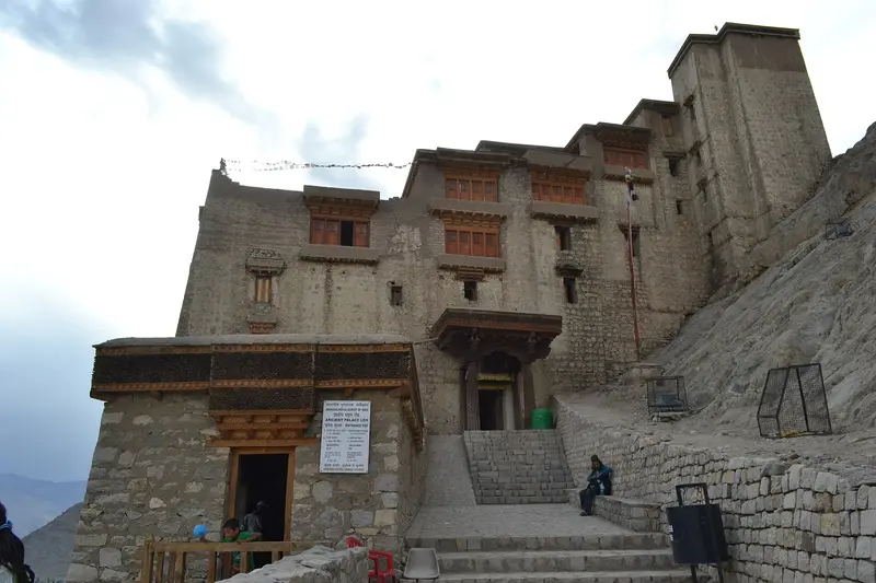
Leh Palace
Https://leh.nic.in/tourism/
Famous · Leh
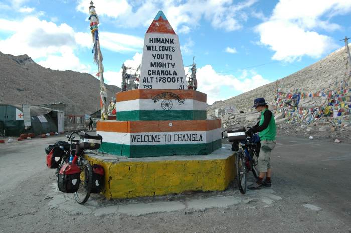
Photo: Robertmaciag at English Wikipedia · Public domain · Wikimedia Commons
Sign in to save places and plan trips, day by day.
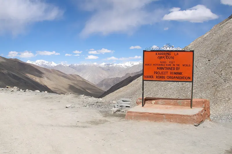
Chang La is a high pass at about 5,360 metres in the Greater Himalaya, on the way from Leh to the Shyok valley. Its name means southern pass in Ladakhi. It lies on the main road to Pangong Lake, which leaves the Leh-Manali highway at Karu and climbs via Sakti and Zingral before descending to Durbuk and Tangtse. Since 2021 an alternative road via the even higher Ke La has also linked Zingral and Tangtse.
The climb from Zingral is steep and calls for careful driving. For 10 to 15 km either side of the top the road turns to loose dirt and slush after winter, and in the summer season meltwater streams run across it, testing motorcyclists. The descent towards Tangtse is equally steep. Because of the altitude, doctors advise spending no more than 20 to 25 minutes at the top.
Unmapia
Coming soon
We’re still writing about Chang La: its history, what’s there and why it’s worth the trip.
Where it is
34.05° N 77.93° E