 Nature & Wildlife
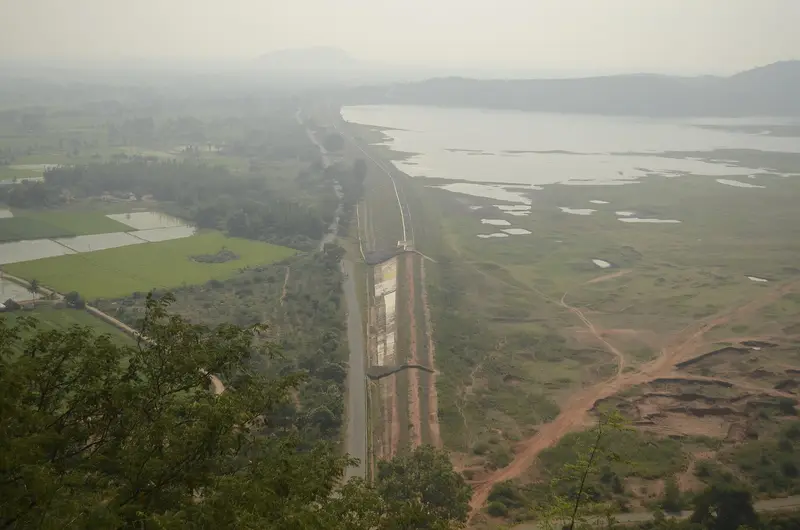
Gomukhi Dam
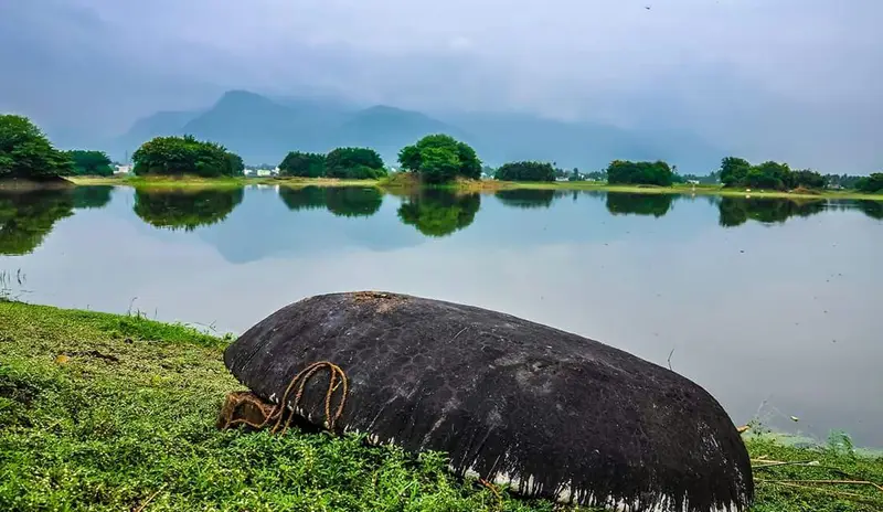
Reservoir scenery near Kalvarayan Hills.
Offbeat · Kallakurichi
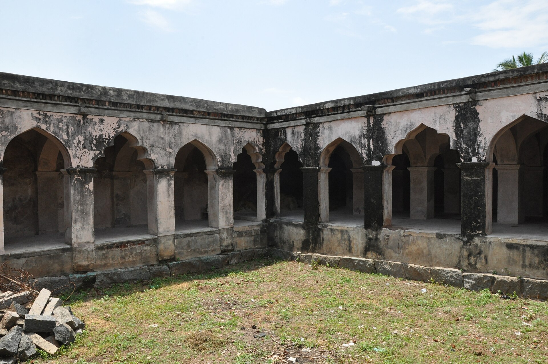
Photo: Thamizhpparithi Maari · CC BY-SA 3.0 · Wikimedia Commons
Sign in to save places and plan trips, day by day.
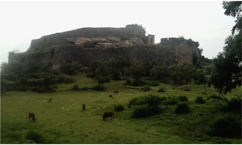
Attur Fort stands on the bank of the Vasishta river at Attur in Salem district, 56 kilometres from Salem. It was built in the 17th century by Lakshmana Nayakan, a Palaiyakkarar chieftain of the Gatti Mudaliar line under the Madurai Nayaks. Later it went to Mysore and then to Hyder Ali, who surrendered it to the East India Company in 1768 and won it back; Tipu Sultan used it as an arms depot and watchtower until the Treaty of Srirangapatnam handed it to the British. The Company garrisoned it from 1792, and it stopped being a working fort after 1854.
The fort covers 62 acres, with an entrance on each side. Its walls, around 30 feet high and 15 feet thick, are of wedge-shaped cut stones laid without mortar, with the river guarding the east and moats the other sides. Inside are two palaces, two magazines, a court, three treasuries, three temples and a pool house that drew river water through a water gate. Parts are ruined or encroached.
Unmapia
Coming soon
We’re still writing about Attur Fort: its history, what’s there and why it’s worth the trip.
Where it is
11.60° N 78.60° E